Transport Functions
Rail
Road
Hub Profile
Place type
Populated place
Region
Texas
Population
620
Time zone
America/Chicago
Elevation
91 m
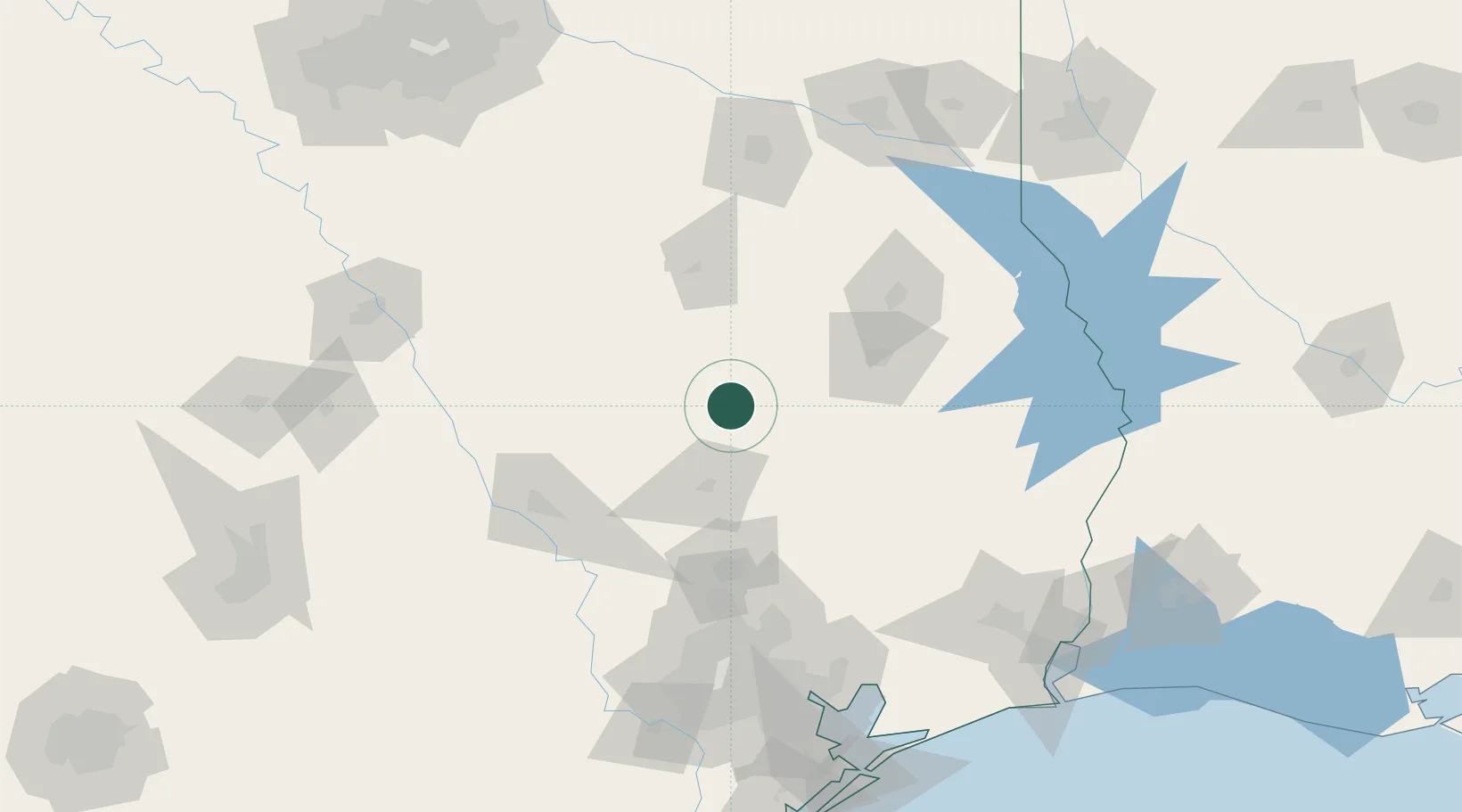
Location
Nearby Logistics Neighbours
Cities
- 1Malvern35 km
- 2Normangee66 km
- 3Shepherd80 km
- 4Montgomery85 km
- 5Tennessee Colony88 km
Airports
Trade Zones
- 1FTZ No. 297 Lufkin65 km
- 2FTZ No. 171 Liberty County109 km
- 3FTZ No. 269 Athens128 km
- 4FTZ No. 084 Harris County147 km
- 5FTZ No. 234 Gregg County163 km
DatabookThe Record of Consolidated Knowledge
United States beyond logistics?