UN/LOCODE hub · United States
USWOK
Woodstock
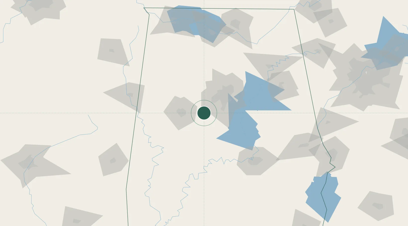
33.2000°, -87.1500°
1,547
Population
2
Transport functions
Transport Functions
Rail
Road
Hub Profile
Place type
Populated place
Region
Alabama
Population
1,547
Time zone
America/Chicago
Elevation
169 m
Location
Nearby Logistics Neighbours
Cities
- 1McCalla20 km
- 2Cottondale28 km
- 3Bessemer29 km
- 4Helena29 km
- 5Brent30 km
Ports
- 1Mobile294 km
- 2Pensacola311 km
- 3Pascagoula344 km
- 4Port Of Memphis347 km
- 5Biloxi353 km
Airports
Trade Zones
- 1FTZ No. 098 Birmingham48 km
- 2FTZ No. 222 Montgomery121 km
- 3FTZ No. 270 Lawrence County162 km
- 4FTZ No. 265 Conroe (Montgomery County)164 km
- 5FTZ No. 083 Huntsville165 km
DatabookThe Record of Consolidated Knowledge
United States beyond logistics?