Large airport · United States
Birmingham-Shuttlesworth International AirportKBHM
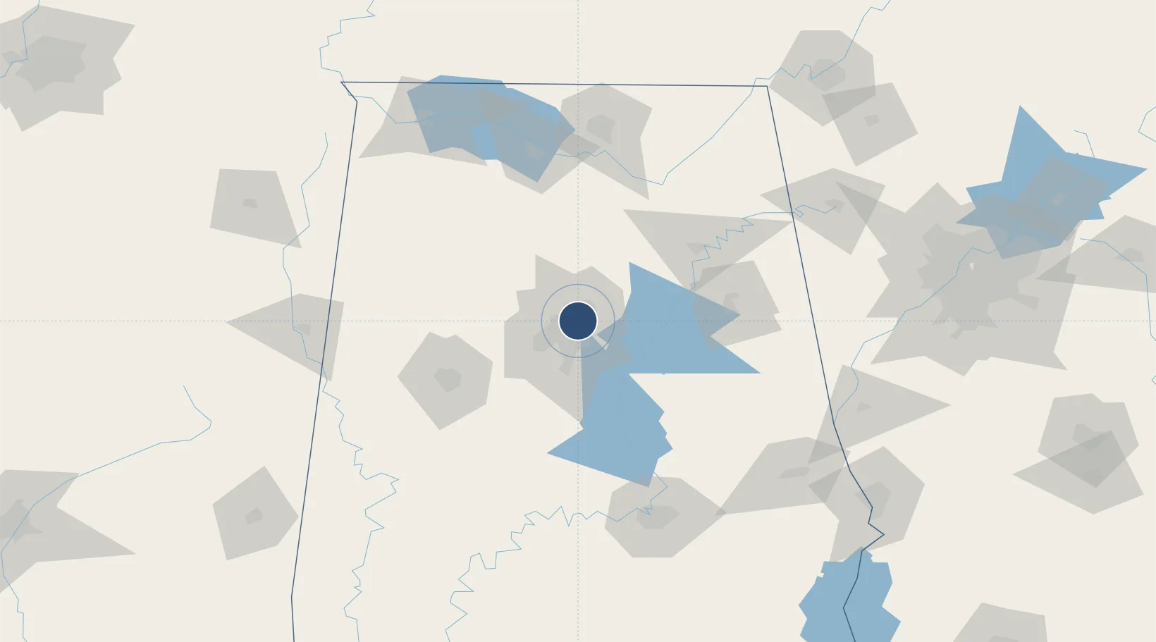
33.5629°, -86.7507°
12,007 ft
Longest runway
2
Runways
650 ft
Elevation
Runway & Layout

Radio Frequencies
ATIS
119.4 MHz
TWR
119.9 MHz
GND
121.7 MHz
CLD
125.675 MHz
CLNC DEL
A/D
123.8 MHz
APP/DEP
OPS
38.7 MHz
ARNG OPS
POST
28.73 MHz
ANG COMD POST
RDO
122.2 MHz
ANNISTON RDO
UNIC
122.95 MHz
UNICOM
Navaids
BH NDB Mcden 224 kHz
RO NDB Roeby 394 kHz
VUZ VORTAC Vulcan 114.40 MHz
Runways · 2
| Runway | Dimensions | Surface | True heading | Lit |
|---|---|---|---|---|
| 06/24 | 12,007 × 150ft | Asphalt | 055° | ✓ |
| 18/36 | 7,099 × 150ft | Asphalt | 180° | ✓ |
Airport Specifications
IATA code
BHM
ICAO code
KBHM
Airport class
Large airport
Scheduled service
Yes
Runway surface
Asphalt
Served city
Birmingham
Location
Nearby Logistics Neighbours
Airports
- 1Shelby County Airport43 km
- 2Anniston Regional Airport83 km
- 3Tuscaloosa National Airport89 km
- 4Huntsville International Airport119 km
- 5Redstone Army Air Field124 km
Cities
- 1Irondale6 km
- 2Fultondale8 km
- 3Homewood11 km
- 4Morris20 km
- 5Pelham26 km
Ports
- 1Mobile345 km
- 2Pensacola354 km
- 3Port Of Memphis356 km
- 4Panama City395 km
- 5Pascagoula396 km
Trade Zones
- 1FTZ No. 098 Birmingham7 km
- 2FTZ No. 083 Huntsville120 km
- 3FTZ No. 270 Lawrence County121 km
- 4FTZ No. 265 Conroe (Montgomery County)124 km
- 5FTZ No. 222 Montgomery139 km
DatabookThe Record of Consolidated Knowledge
United States beyond logistics?