Transport Functions
Port
Multimodal
Hub Profile
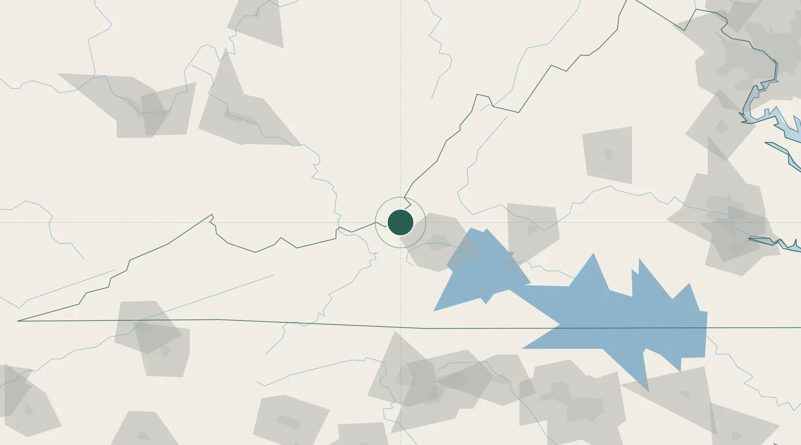
Place type
Populated place
Region
Ohio
Time zone
America/New_York
Elevation
188 m
Location
Nearby Logistics Neighbours
Cities
- 1Union, Monroe23 km
- 2Daleville36 km
- 3Norcross36 km
- 4Botetourt41 km
- 5Rich Creek45 km
Ports
- 1Richmond256 km
- 2Fredericksburg268 km
- 3West Point310 km
- 4Alexandria323 km
- 5Washington D.C.327 km
Airports
Trade Zones
- 1FTZ No. 238 Dublin53 km
- 2FTZ No. 230 Piedmont Triad Area143 km
- 3FTZ No. 229 Charleston157 km
- 4FTZ No. 093 Raleigh Durham214 km
- 5FTZ No. 204 Tri-Cities216 km
DatabookThe Record of Consolidated Knowledge
United States beyond logistics?