Medium airport · United States

Raleigh County Memorial AirportKBKW
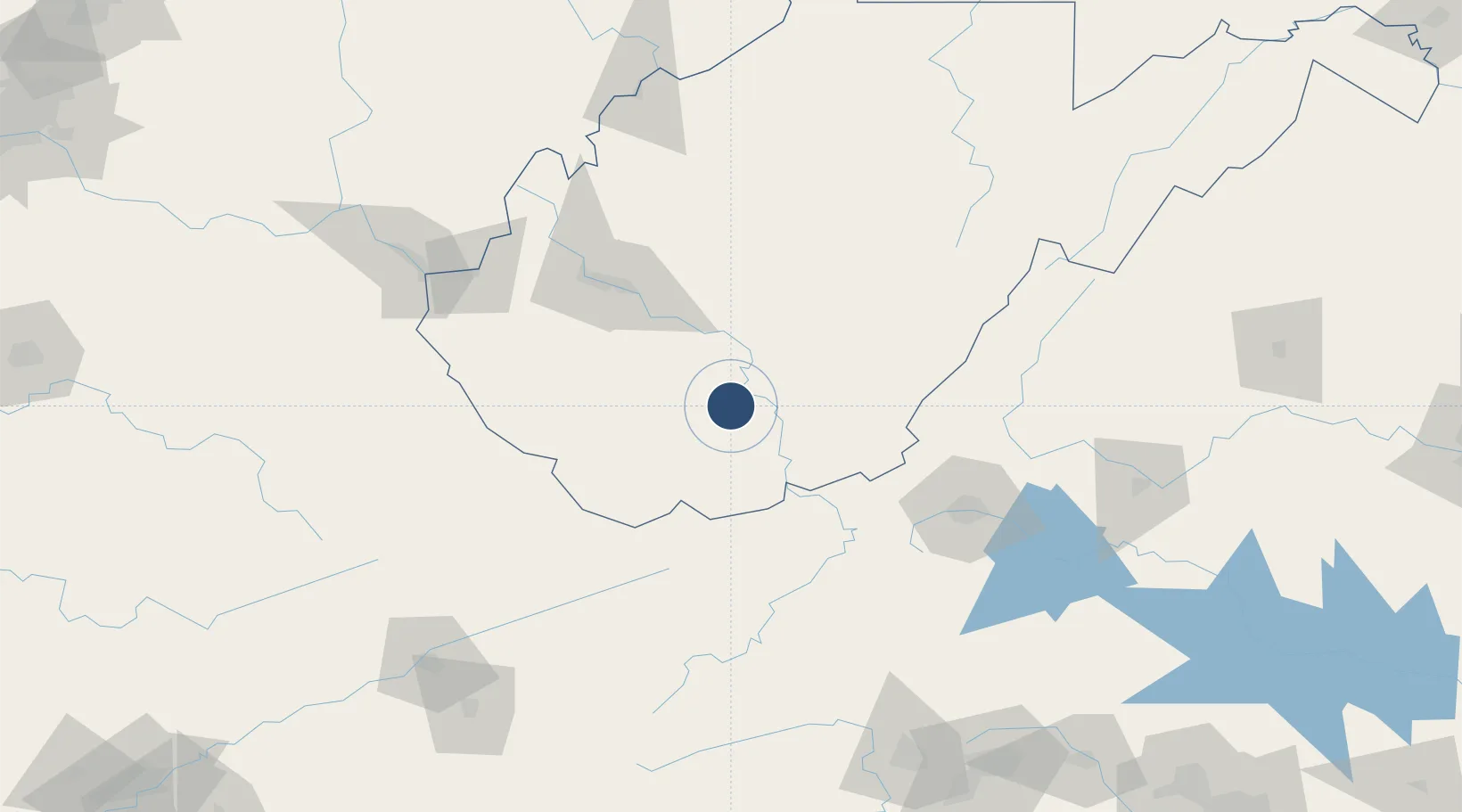
37.7873°, -81.1242°
6,750 ft
Longest runway
2
Runways
2,504 ft
Elevation

Runway & Layout

Raleigh County Memorial Airport runway & taxiway layout
Runway & taxiway layout — OpenStreetMap (ODbL) / OurAirports

Radio Frequencies

ASOS
121.55 MHz
AWOS
124.65 MHz
AWOS 3
A/D
118.95 MHz
CHARLESTON APP/DEP
RDO
117.7 MHz
ELKINS RDO
UNIC
123 MHz
CTAF/UNICOM
OurAirports

Navaids

BKW VORTAC Beckley 117.70 MHz
OurAirports

Runways · 2

RunwayDimensions SurfaceTrue headingLit
01/19 6,750 × 150ft Asphalt 008°
10/28 5,001 × 100ft Asphalt 094°
OurAirports

Airport Specifications

IATA code
BKW
OurAirports
ICAO code
KBKW
OurAirports
Airport class
Medium airport
OurAirports
Scheduled service
Yes
OurAirports
Runway surface
Asphalt
OurAirports
Served city
Beaver
OurAirports

Location

Location of KBKW
Natural Earth 10m (public domain) · West Virginia · KBKW · 37.79, -81.12GoogleOSMYandex

Nearby Logistics Neighbours

Airports
  1. 1Mercer County Airport55 km
  2. 2Greenbrier Valley Airport64 km
  3. 3Yeager Airport77 km
  4. 4Roanoke–Blacksburg Regional Airport114 km
  5. 5Tri-State Airport / Milton J. Ferguson Field141 km
Nearest neighbours — logibook spatial index (haversine) over the source coordinates
Cities
  1. 1Daniels6 km
  2. 2Mabscott7 km
  3. 3Pax18 km
  4. 4Tams22 km
  5. 5Salem22 km
Nearest neighbours — logibook spatial index (haversine) over the source coordinates
Ports
  1. 1Fredericksburg327 km
  2. 2Richmond328 km
  3. 3Alexandria374 km
  4. 4Washington D.C.376 km
  5. 5West Point382 km
Nearest neighbours — logibook spatial index (haversine) over the source coordinates
Trade Zones
  1. 1FTZ No. 229 Charleston81 km
  2. 2FTZ No. 238 Dublin85 km
  3. 3FTZ No. 204 Tri-Cities185 km
  4. 4FTZ No. 230 Piedmont Triad Area198 km
  5. 5FTZ No. 138 Franklin County275 km
Nearest neighbours — logibook spatial index (haversine) over the source coordinates
DatabookThe Record of Consolidated Knowledge
United States beyond logistics?
Browse databook

All Sources

AirportsOurAirports
Public domain
Portsthe NGA World Port Index
Public domain (US gov)
LocationsUN/LOCODE
UN/LOCODE — free
Trade Zonesthe World Bank SEZ database
CC BY 4.0
Trade ZonesOpen Zone Map
CC BY
InfrastructureOpenStreetMap
ODbL 1.0
← United States airports