UN/LOCODE hub · United States
USZXZ
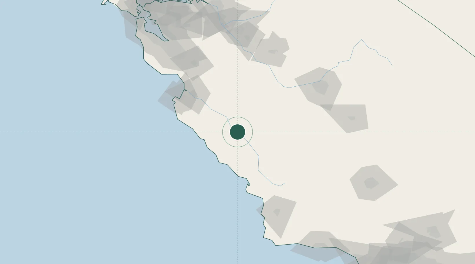
San Lucas
36.1167°, -121.0167°
269
Population
2
Transport functions
Transport Functions
Port
Road
Hub Profile
Place type
Populated place
Region
California
Population
269
Time zone
America/Los_Angeles
Elevation
125 m
Location
Nearby Logistics Neighbours
Cities
- 1Soledad43 km
- 2Big Sur72 km
- 3Cayucos77 km
- 4Atascadero77 km
- 5Tres Pinos79 km
Ports
- 1Morro Bay85 km
- 2Monterey96 km
- 3Moss102 km
- 4Port San Luis108 km
- 5Pismo Beach114 km
Airports
Trade Zones
- 1FTZ No. 226 Merced, Madera and Fresno Counties141 km
- 2FTZ No. 018 San Jose156 km
- 3FTZ No. 276 Kern County199 km
- 4FTZ No. 231 Stockton206 km
- 5FTZ No. 056 Oakland219 km
DatabookThe Record of Consolidated Knowledge
United States beyond logistics?