Channel & Berth Profile
Pilotage, Tugs & Services
Pilotage compulsoryYES
Shore powerYES
Potable waterYES
Diesel bunkersYES
MedicalYES
Garbage disposalNO
Facilities & Capabilities
Container—
Ro-Ro—
Liquid bulk—
Dry bulk—
Oil terminal—
Break bulk—
Dry dock—
RepairsNO
Bunkering—
Rail linkYES
Dangerous cargo—
ISPS security—
Harbour Specifications
Harbour size
Small
Harbour type
Coastal (Natural)
Shelter
Good
Water body
North Pacific Ocean
Tidal range
1.2 m
Pilotage
Yes
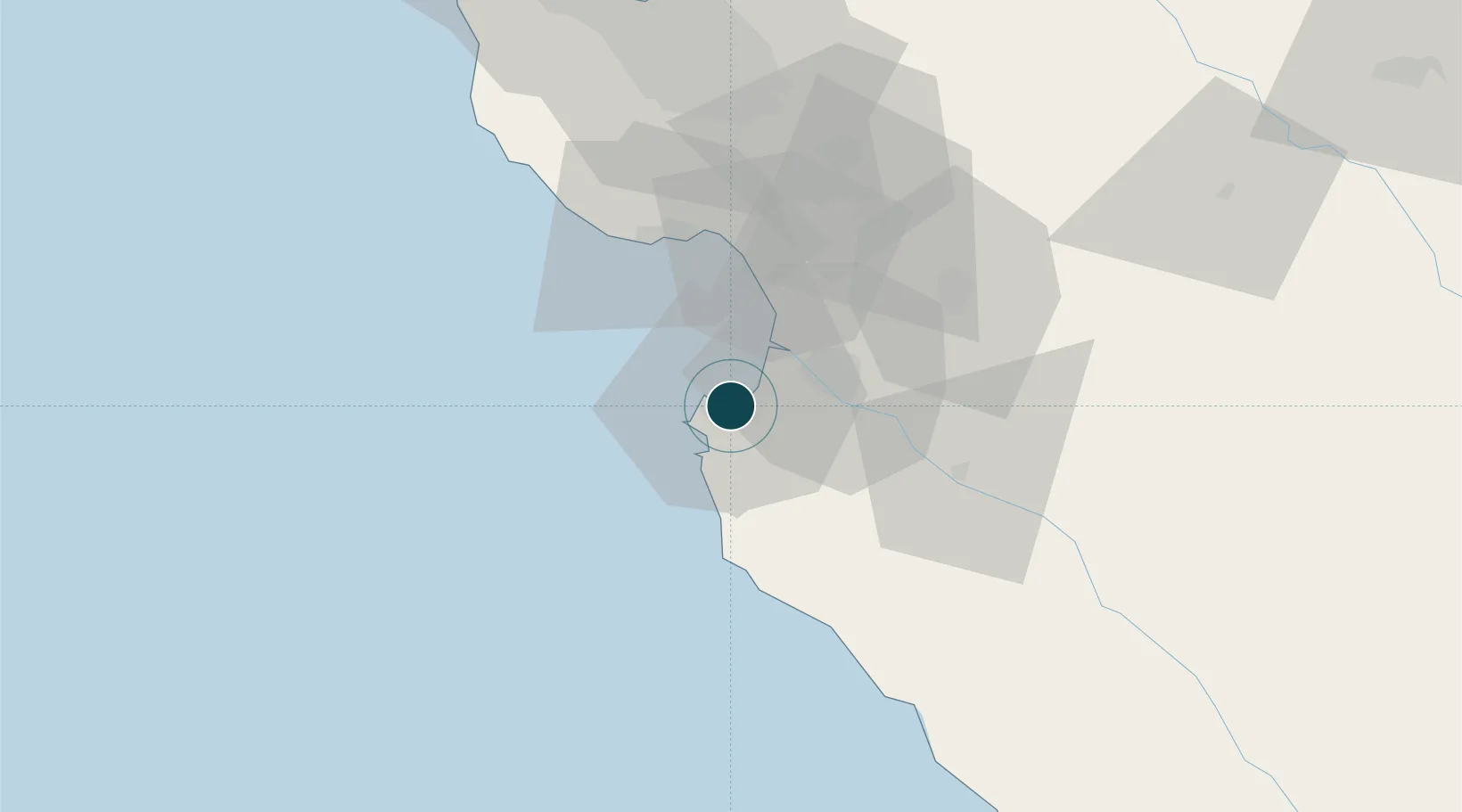
Location
Nearby Logistics Neighbours
Ports
- 1Moss22 km
- 2Santa Cruz41 km
- 3Davenport53 km
- 4Redwood City106 km
- 5Alameda134 km
Cities
- 1Pacific Grove2 km
- 2Prunedale26 km
- 3Watsonville34 km
- 4Aromas36 km
- 5Capitola39 km
Airports
Trade Zones
- 1FTZ No. 018 San Jose80 km
- 2FTZ No. 056 Oakland137 km
- 3FTZ No. 003 San Francisco139 km
- 4FTZ No. 226 Merced, Madera and Fresno Counties146 km
- 5FTZ No. 231 Stockton156 km
DatabookThe Record of Consolidated Knowledge
United States beyond logistics?