Transport Functions
Rail
Road
Hub Profile
Place type
Populated place
Region
California
Time zone
America/Los_Angeles
Elevation
241 m
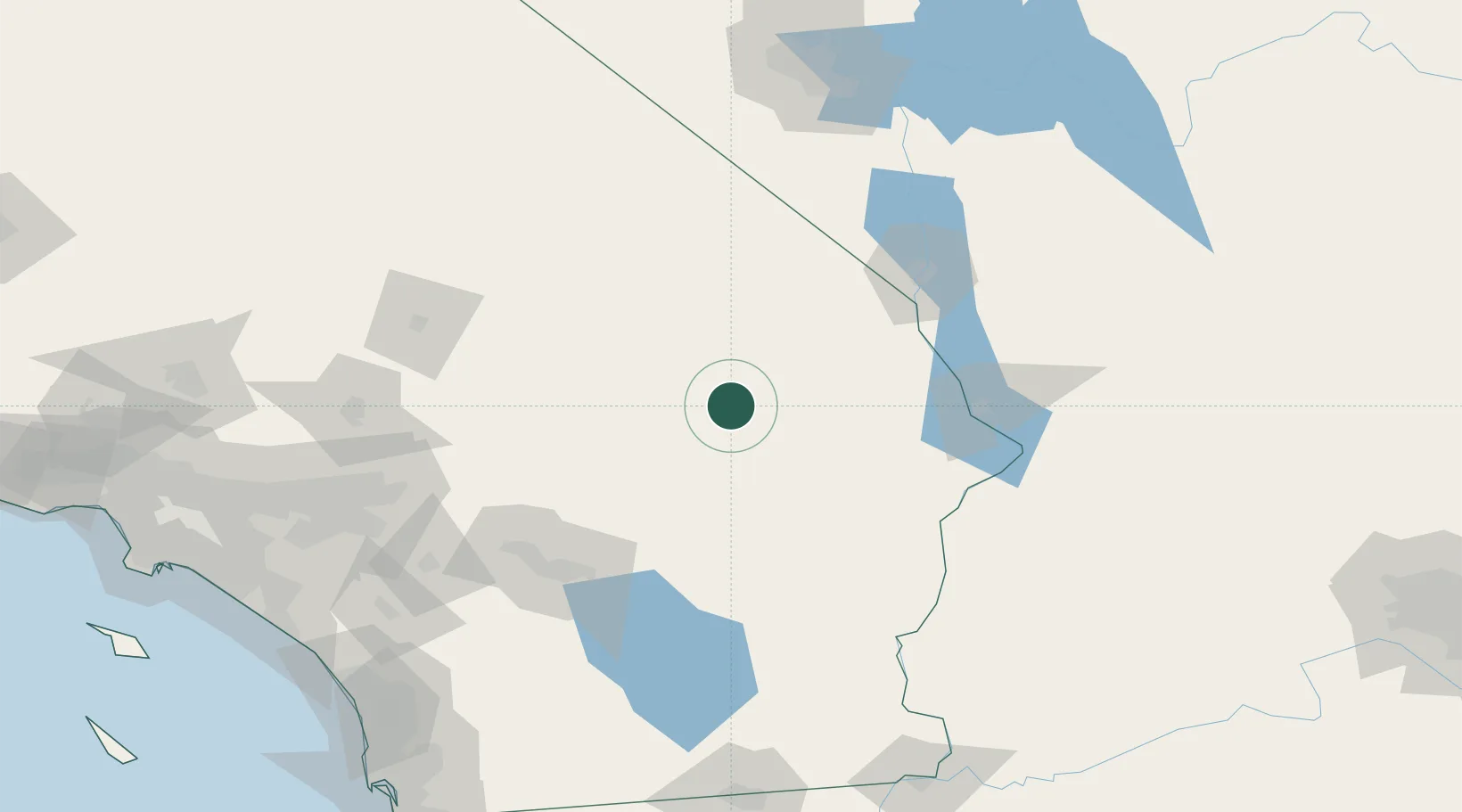
Location
Nearby Logistics Neighbours
Cities
- 1Amboy20 km
- 2Fort Mohave100 km
- 3Thousand Palms111 km
- 4North Palm Springs115 km
- 5Cathedral City120 km
Ports
- 1Newport Beach241 km
- 2San Diego253 km
- 3Long Beach259 km
- 4Los Angeles266 km
- 5El Segundo276 km
Airports
Trade Zones
- 1FTZ No. 236 Palm Springs120 km
- 2FTZ No. 170 Clark County165 km
- 3FTZ No. 089 Clark County165 km
- 4FTZ No. 243 Victorville170 km
- 5FTZ No. 244 Riverside County176 km
DatabookThe Record of Consolidated Knowledge
United States beyond logistics?