Medium airport · United States
Hattiesburg Laurel Regional AirportKPIB
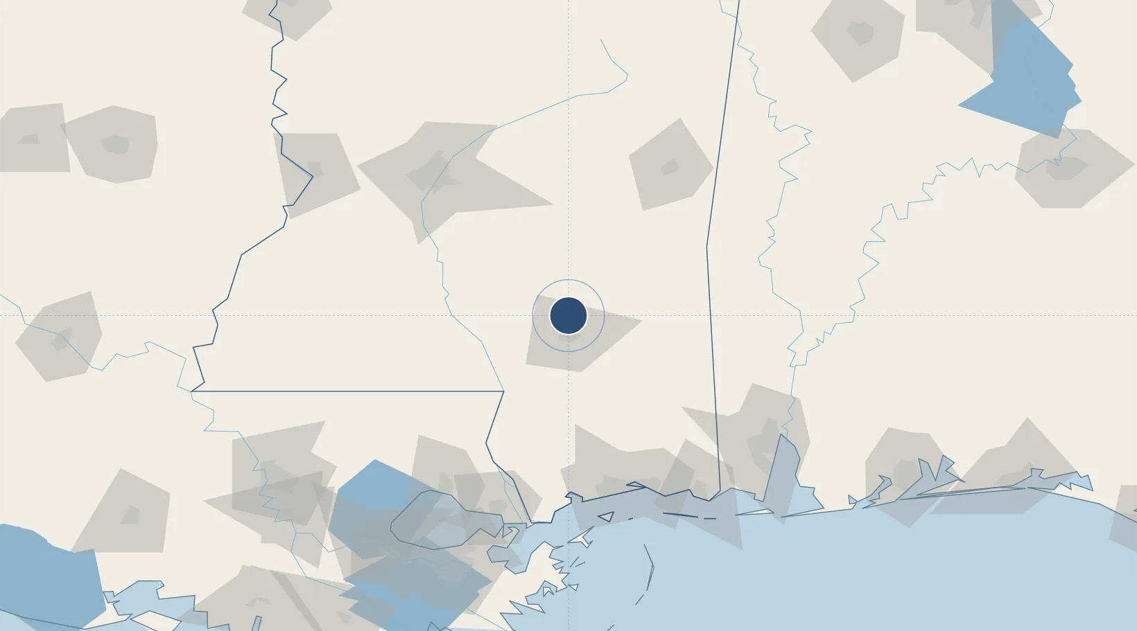
31.4671°, -89.3371°
6,503 ft
Longest runway
1
Runways
298 ft
Elevation
Runway & Layout

Radio Frequencies
AWOS
128.325 MHz
AWOS 3
CNTR
126.8 MHz
HOUSTON CNTR
UNIC
123 MHz
CTAF/UNICOM
Runways · 1
| Runway | Dimensions | Surface | True heading | Lit |
|---|---|---|---|---|
| 18/36 | 6,503 × 150ft | Asphalt | 180° | ✓ |
Airport Specifications
IATA code
PIB
ICAO code
KPIB
Airport class
Medium airport
Scheduled service
Yes
Runway surface
Asphalt
Served city
Moselle
Location
Nearby Logistics Neighbours
Airports
Cities
- 1Moselle8 km
- 2Petal16 km
- 3Seminary19 km
- 4Sumrall, Lamar19 km
- 5Camp Shelby36 km
Ports
- 1Gulfport127 km
- 2Biloxi128 km
- 3Slidell140 km
- 4Madisonville142 km
- 5Pascagoula144 km
Trade Zones
- 1FTZ No. 092 Harrison County122 km
- 2FTZ No. 082 Mobile147 km
- 3FTZ No. 158 Vicksburg Jackson167 km
- 4FTZ No. 002 New Orleans184 km
- 5FTZ No. 124 Gramercy204 km
DatabookThe Record of Consolidated Knowledge
United States beyond logistics?