UN/LOCODE hub · United States
USQIM
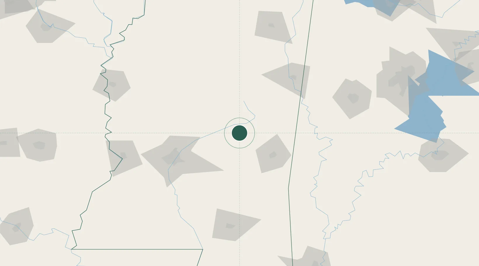
Coldwater
32.7000°, -89.2000°
1,608
Population
3
Transport functions
Transport Functions
Port
Road
Multimodal
Hub Profile
Place type
Populated place
Region
Mississippi
Population
1,608
Time zone
America/Chicago
Elevation
143 m
Location
Nearby Logistics Neighbours
Ports
- 1Mobile247 km
- 2Biloxi259 km
- 3Gulfport262 km
- 4Pascagoula268 km
- 5Madisonville271 km
Airports
Trade Zones
- 1FTZ No. 158 Vicksburg Jackson155 km
- 2FTZ No. 098 Birmingham240 km
- 3FTZ No. 082 Mobile247 km
- 4FTZ No. 092 Harrison County255 km
- 5FTZ No. 287 Tunica County257 km
DatabookThe Record of Consolidated Knowledge
United States beyond logistics?