Transport Functions
Rail
Road
Hub Profile
Place type
Populated place
Region
Mississippi
Population
250
Time zone
America/Chicago
Elevation
86 m
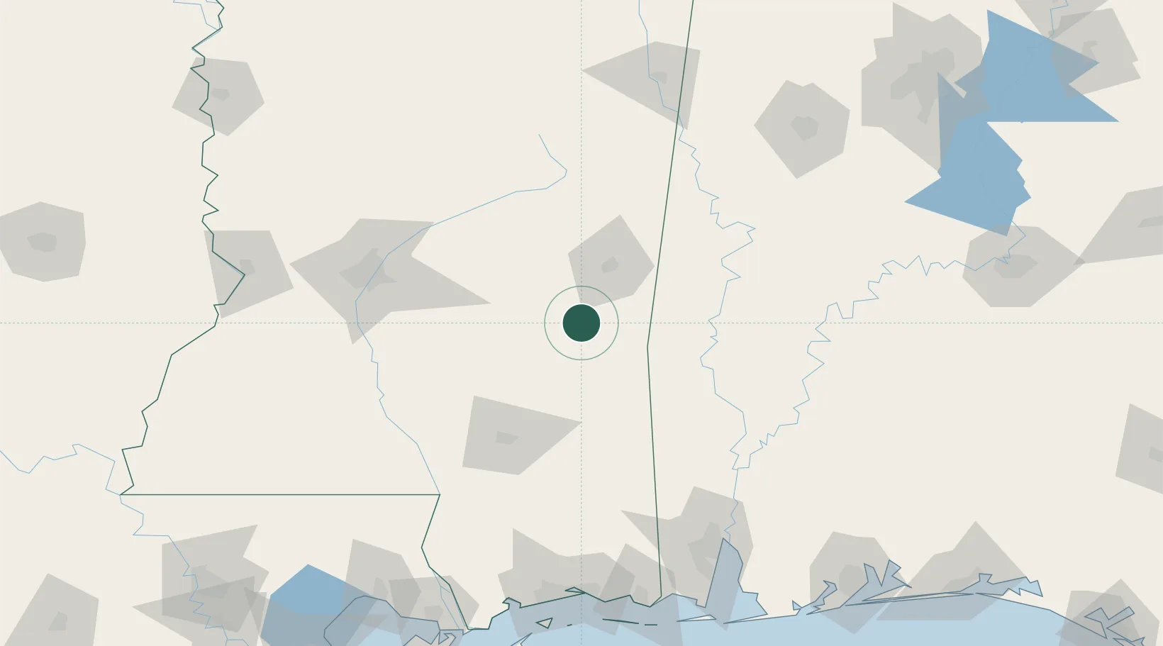
Location
Nearby Logistics Neighbours
Ports
- 1Mobile167 km
- 2Biloxi184 km
- 3Gulfport188 km
- 4Pascagoula190 km
- 5Slidell214 km
Airports
Trade Zones
- 1FTZ No. 082 Mobile168 km
- 2FTZ No. 092 Harrison County180 km
- 3FTZ No. 158 Vicksburg Jackson182 km
- 4FTZ No. 249 Pensacola235 km
- 5FTZ No. 222 Montgomery245 km
DatabookThe Record of Consolidated Knowledge
United States beyond logistics?