Transport Functions
Rail
Road
Hub Profile
Place type
Populated place
Region
Mississippi
Population
3,356
Time zone
America/Chicago
Elevation
130 m
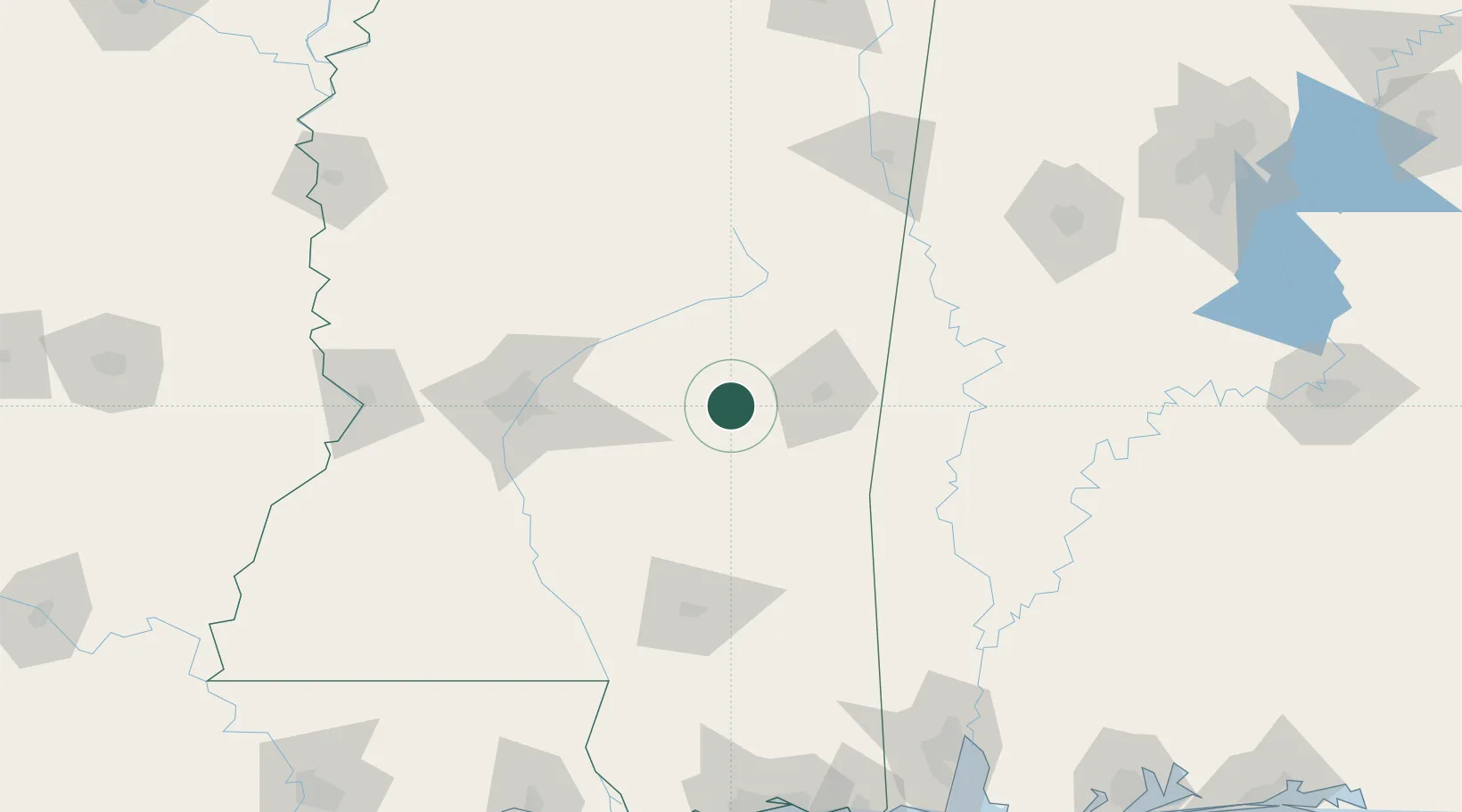
Location
Nearby Logistics Neighbours
Ports
- 1Mobile206 km
- 2Biloxi217 km
- 3Gulfport219 km
- 4Pascagoula226 km
- 5Madisonville233 km
Airports
Trade Zones
- 1FTZ No. 158 Vicksburg Jackson154 km
- 2FTZ No. 082 Mobile207 km
- 3FTZ No. 092 Harrison County212 km
- 4FTZ No. 098 Birmingham256 km
- 5FTZ No. 222 Montgomery267 km
DatabookThe Record of Consolidated Knowledge
United States beyond logistics?