Medium airport · United States
Hutchinson Municipal AirportKHUT
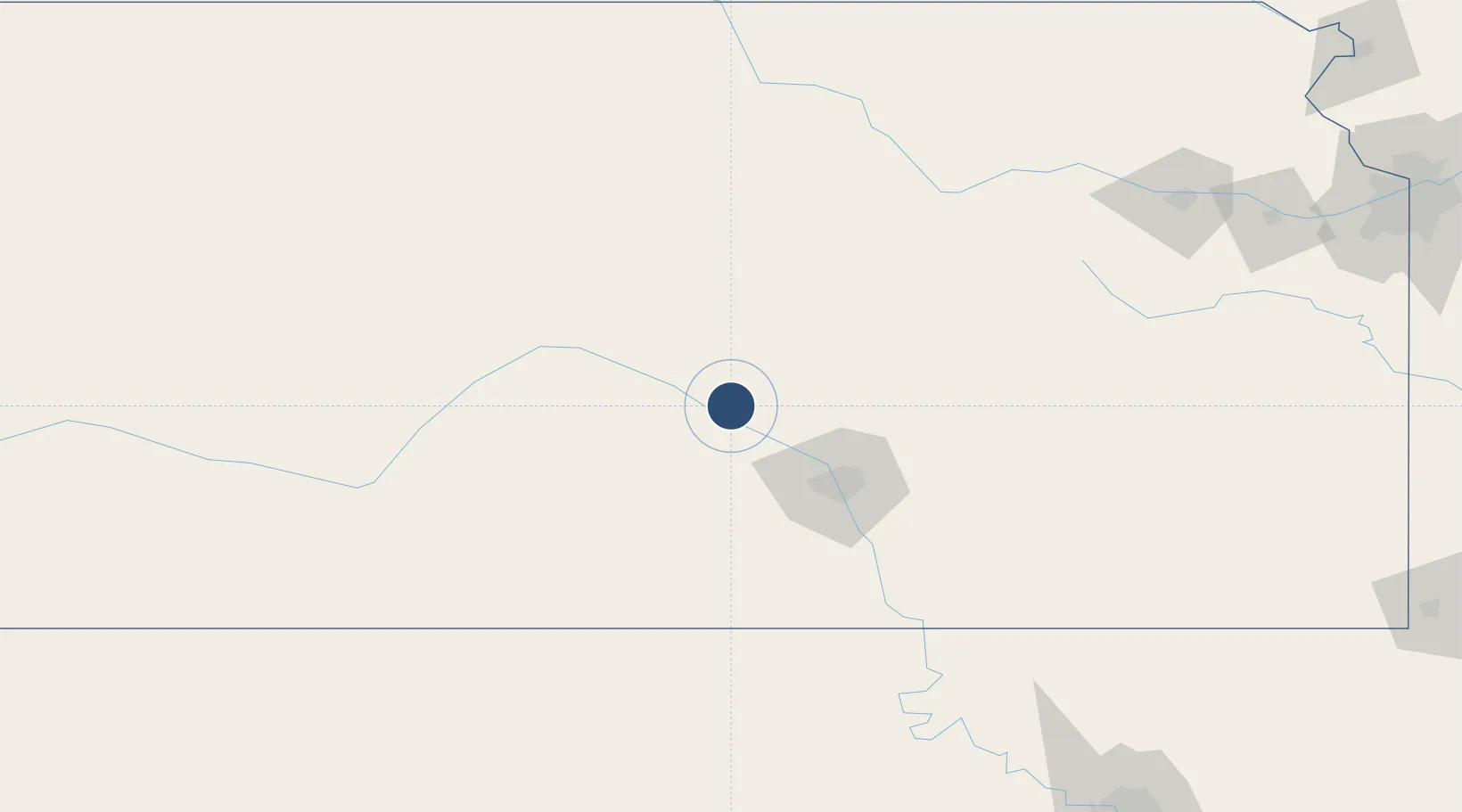
38.0655°, -97.8606°
7,003 ft
Longest runway
3
Runways
1,543 ft
Elevation
Runway & Layout

Radio Frequencies
ATIS
124.25 MHz
TWR
118.5 MHz
GND
121.9 MHz
CTAF
118.5 MHz
A/D
125.5 MHz
WICHITA APP DEP
RDO
122.05 MHz
WICHITA RDO
UNIC
122.95 MHz
UNICOM
Navaids
HU NDB Saltt 404 kHz
HUT VOR-DME Hutchinson 116.80 MHz
Runways · 3
| Runway | Dimensions | Surface | True heading | Lit |
|---|---|---|---|---|
| 13/31 | 7,003 × 100ft | Asphalt | 138° | ✓ |
| 04/22 | 4,405 × 100ft | Asphalt / concrete | 042° | ✓ |
| 17/35 | 4,012 × 75ft | Asphalt | 177° | ✓ |
Airport Specifications
IATA code
HUT
ICAO code
KHUT
Airport class
Medium airport
Scheduled service
No
Runway surface
Asphalt
Served city
Hutchinson
Location
Nearby Logistics Neighbours
Airports
Cities
- 1South Hutchinson8 km
- 2Haven20 km
- 3Moundridge34 km
- 4Saint Marys45 km
- 5Cheney49 km
Ports
- 1Port Of Memphis763 km
- 2Beaumont953 km
- 3Orange965 km
- 4Port Neches966 km
- 5Lake Charles970 km
Trade Zones
- 1FTZ No. 161 Sedgwick County42 km
- 2FTZ No. 053 Rogers County262 km
- 3FTZ No. 133 Quad-Cities, Iowa Illinois267 km
- 4FTZ No. 015 Kansas City272 km
- 5FTZ No. 017 Kansas City285 km
DatabookThe Record of Consolidated Knowledge
United States beyond logistics?