Medium airport · United States
Southeast Colorado Regional AirportKLAA
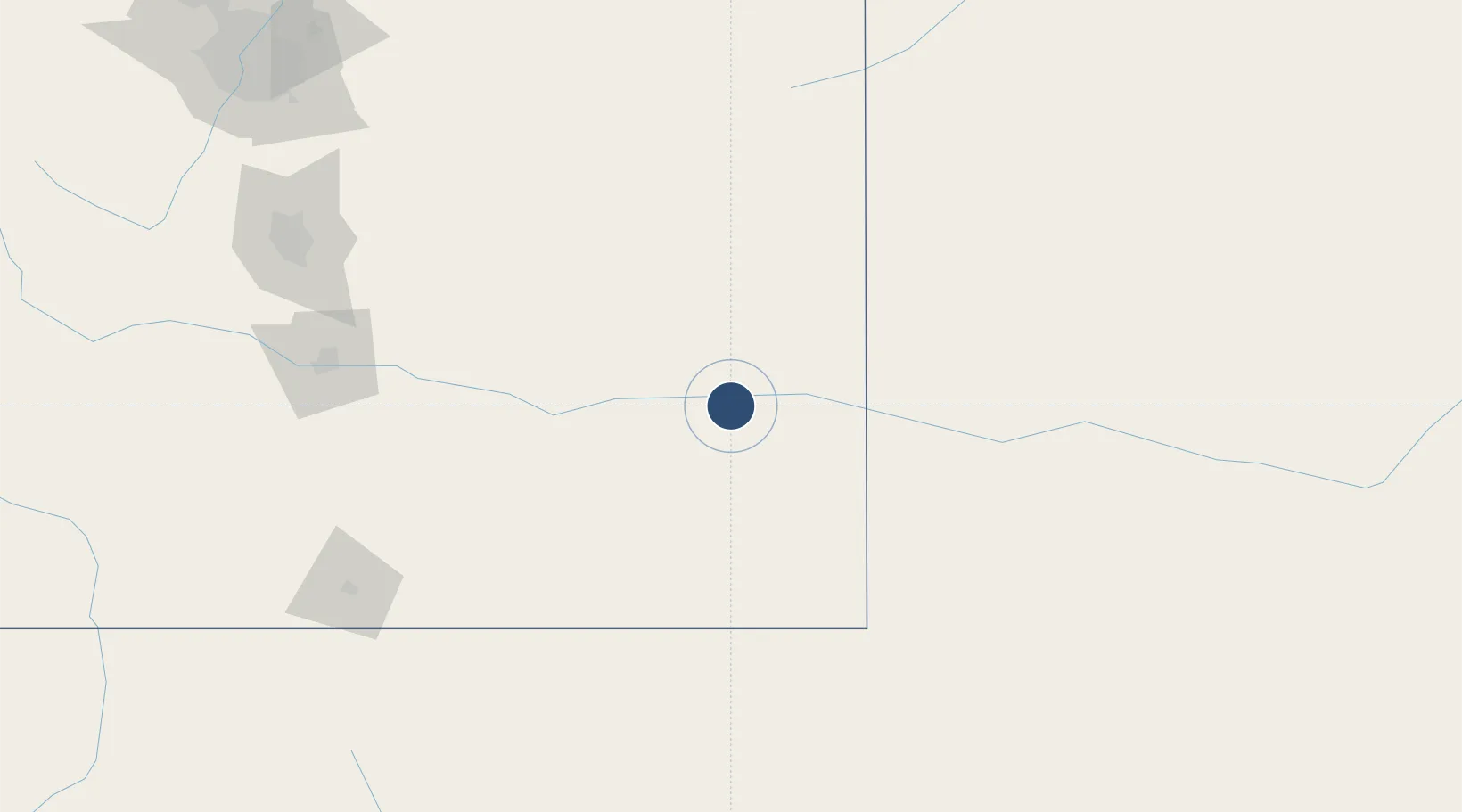
38.0664°, -102.6914°
6,304 ft
Longest runway
2
Runways
3,706 ft
Elevation
Runway & Layout

Radio Frequencies
ASOS
135.625 MHz
CNTR
133.4 MHz
DENVER CNTR
RDO
116.9 MHz
DENVER RDO
UNIC
122.8 MHz
CTAF/UNICOM
Runways · 2
| Runway | Dimensions | Surface | True heading | Lit |
|---|---|---|---|---|
| 18/36 | 6,304 × 100ft | Concrete | 190° | ✓ |
| 08/26 | 5,001 × 60ft | Asphalt | 090° | ✓ |
Airport Specifications
IATA code
LAA
ICAO code
KLAA
Airport class
Medium airport
Scheduled service
No
Runway surface
Concrete
Served city
Lamar
Location
Nearby Logistics Neighbours
Airports
- 1Pueblo Memorial Airport160 km
- 2Goodland Municipal Airport169 km
- 3Garden City Regional Airport173 km
- 4Guymon Municipal Airport186 km
- 5Liberal Mid-America Regional Airport190 km
Cities
- 1Walsh85 km
- 2Cheyenne Wells89 km
- 3Arapahoe98 km
- 4Johnson100 km
- 5Burlington142 km
Trade Zones
- 1FTZ No. 293 Limon159 km
- 2FTZ No. 112 Colorado Springs204 km
- 3FTZ No. 123 Denver272 km
- 4FTZ No. 298 Jefferson County283 km
- 5FTZ No. 252 Amarillo327 km
DatabookThe Record of Consolidated Knowledge
United States beyond logistics?