Transport Functions
Port
Multimodal
Hub Profile
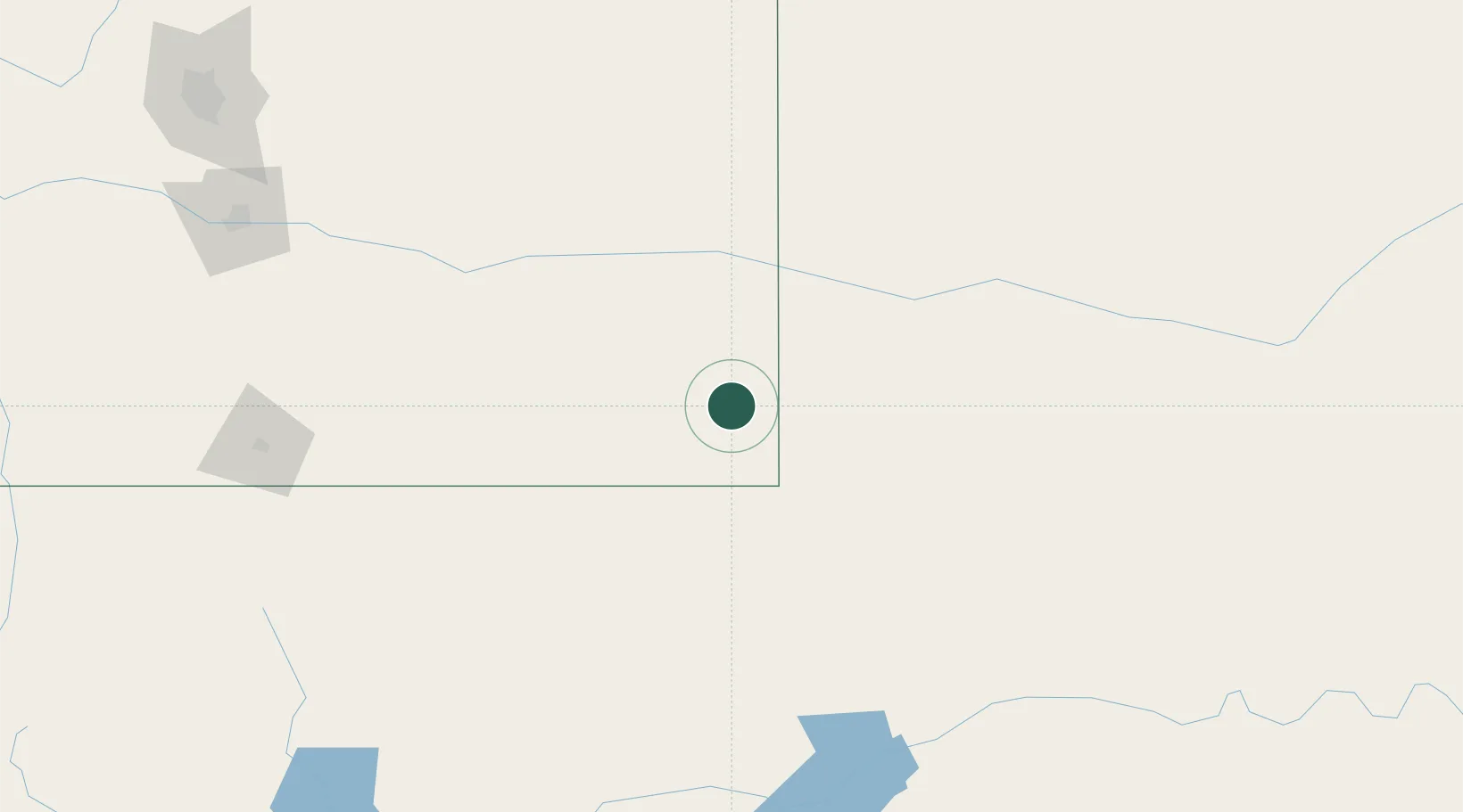
Place type
Populated place
Region
Colorado
Population
518
Time zone
America/Denver
Elevation
1,205 m
Location
Nearby Logistics Neighbours
Ports
- 1Deer Park1064 km
- 2Houston1067 km
- 3Pasadena1073 km
- 4Baytown1083 km
- 5Port Lavaca1108 km
Airports
Trade Zones
- 1FTZ No. 293 Limon243 km
- 2FTZ No. 252 Amarillo245 km
- 3FTZ No. 112 Colorado Springs276 km
- 4FTZ No. 123 Denver353 km
- 5FTZ No. 298 Jefferson County363 km
DatabookThe Record of Consolidated Knowledge
United States beyond logistics?