UN/LOCODE hub · United States
USZYN

Cheyenne Wells

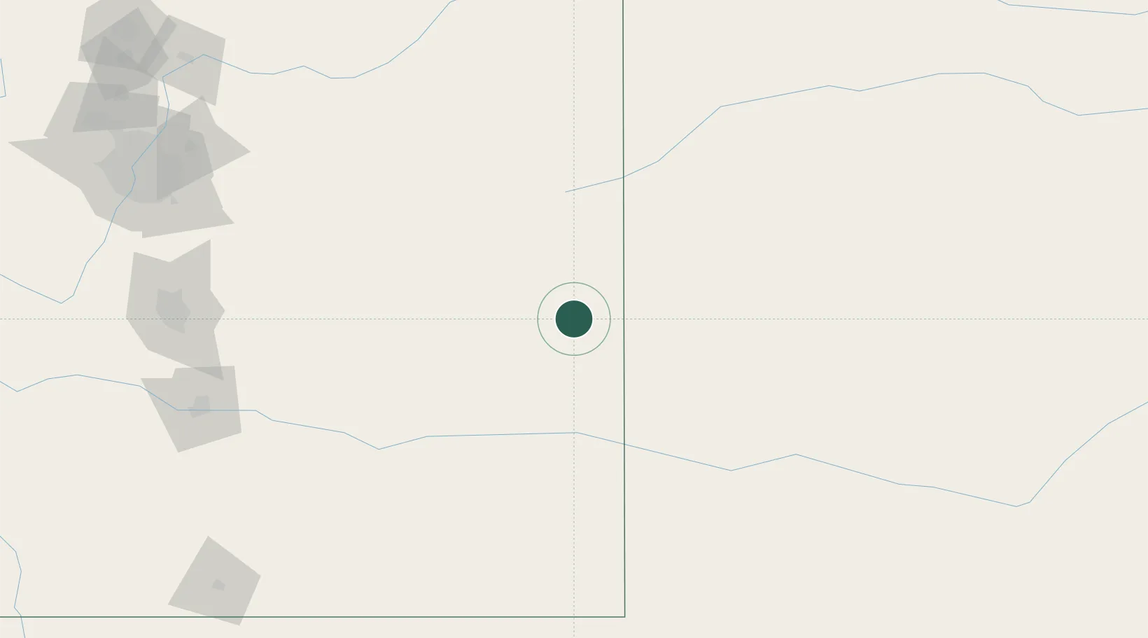
38.8167°, -102.3500°
837
Population
2
Transport functions

Transport Functions

Port
Road
UN/LOCODE

Hub Profile

Place type
Provincial seat
GeoNames
Region
Colorado
GeoNames
Population
837
GeoNames
Time zone
America/Denver
GeoNames
Elevation
1,308 m
GeoNames

Location

Location of USZYN
Natural Earth 10m (public domain) · Colorado · USZYN · 38.82, -102.35GoogleOSMYandex

Nearby Logistics Neighbours

Cities
  1. 1Arapahoe16 km
  2. 2Burlington54 km
  3. 3Edson91 km
  4. 4Saint Francis116 km
  5. 5Scott City131 km
Nearest neighbours — logibook spatial index (haversine) over the source coordinates
Ports
  1. 1Deer Park1196 km
  2. 2Houston1198 km
  3. 3Pasadena1205 km
  4. 4Baytown1213 km
  5. 5Superior1214 km
Nearest neighbours — logibook spatial index (haversine) over the source coordinates
Airports
  1. 1Goodland Municipal Airport83 km
  2. 2Southeast Colorado Regional Airport89 km
  3. 3Garden City Regional Airport173 km
  4. 4Pueblo Memorial Airport196 km
  5. 5City of Colorado Springs Municipal Airport204 km
Nearest neighbours — logibook spatial index (haversine) over the source coordinates
Trade Zones
  1. 1FTZ No. 293 Limon126 km
  2. 2FTZ No. 112 Colorado Springs214 km
  3. 3FTZ No. 123 Denver249 km
  4. 4FTZ No. 298 Jefferson County262 km
  5. 5FTZ No. 252 Amarillo404 km
Nearest neighbours — logibook spatial index (haversine) over the source coordinates
DatabookThe Record of Consolidated Knowledge
United States beyond logistics?
Browse databook

All Sources

LocationsUN/LOCODE
UN/LOCODE — free
LocationsGeoNames
CC BY 4.0
Portsthe NGA World Port Index
Public domain (US gov)
AirportsOurAirports
Public domain
Trade Zonesthe World Bank SEZ database
CC BY 4.0
Trade ZonesOpen Zone Map
CC BY
← United States locations