Medium airport · United States

Guymon Municipal AirportKGUY

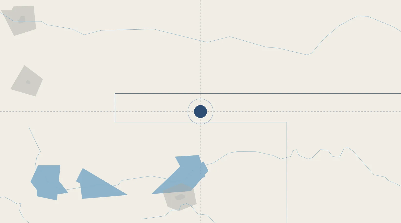
36.6851°, -101.5080°
5,904 ft
Longest runway
2
Runways
3,123 ft
Elevation

Runway & Layout

Guymon Municipal Airport runway & taxiway layout
Runway & taxiway layout — OpenStreetMap (ODbL) / OurAirports

Radio Frequencies

ASOS
119.925 MHz
CNTR
134 MHz
KANSAS CITY CNTR
UNIC
122.7 MHz
CTAF/UNICOM
OurAirports

Runways · 2

RunwayDimensions SurfaceTrue headingLit
18/36 5,904 × 100ft Asphalt 186°
06/24 1,795 × 200ft Grass 068°
OurAirports

Airport Specifications

IATA code
GUY
OurAirports
ICAO code
KGUY
OurAirports
Airport class
Medium airport
OurAirports
Scheduled service
No
OurAirports
Runway surface
Asphalt
OurAirports
Served city
Guymon
OurAirports

Location

Location of KGUY
Natural Earth 10m (public domain) · Oklahoma · KGUY · 36.69, -101.51GoogleOSMYandex

Nearby Logistics Neighbours

Airports
  1. 1Liberal Mid-America Regional Airport63 km
  2. 2Dalhart Municipal Airport119 km
  3. 3Garden City Regional Airport155 km
  4. 4Rick Husband Amarillo International Airport164 km
  5. 5West Woodward Airport179 km
Nearest neighbours — logibook spatial index (haversine) over the source coordinates
Cities
  1. 1Hooker33 km
  2. 2Hugoton57 km
  3. 3Moscow75 km
  4. 4Sunray79 km
  5. 5Cactus (Moore County)80 km
Nearest neighbours — logibook spatial index (haversine) over the source coordinates
Ports
  1. 1Deer Park961 km
  2. 2Houston964 km
  3. 3Pasadena971 km
  4. 4Baytown980 km
  5. 5Beaumont1006 km
Nearest neighbours — logibook spatial index (haversine) over the source coordinates
Trade Zones
  1. 1FTZ No. 252 Amarillo168 km
  2. 2FTZ No. 293 Limon344 km
  3. 3FTZ No. 260 Lubbock347 km
  4. 4FTZ No. 261 Alexandria347 km
  5. 5FTZ No. 161 Sedgwick County350 km
Nearest neighbours — logibook spatial index (haversine) over the source coordinates
DatabookThe Record of Consolidated Knowledge
United States beyond logistics?
Browse databook

All Sources

AirportsOurAirports
Public domain
Portsthe NGA World Port Index
Public domain (US gov)
LocationsUN/LOCODE
UN/LOCODE — free
Trade Zonesthe World Bank SEZ database
CC BY 4.0
Trade ZonesOpen Zone Map
CC BY
InfrastructureOpenStreetMap
ODbL 1.0
← United States airports