Medium airport · United States

Liberal Mid-America Regional AirportKLBL

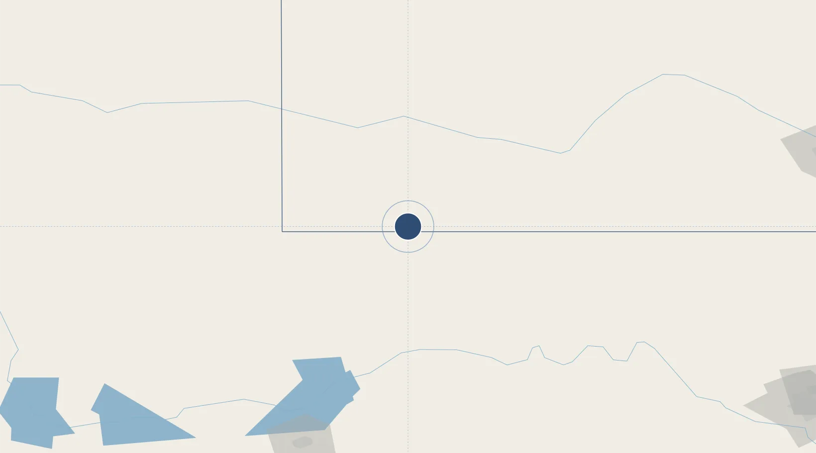
37.0442°, -100.9600°
7,105 ft
Longest runway
2
Runways
2,885 ft
Elevation

Runway & Layout

Liberal Mid-America Regional Airport runway & taxiway layout
Runway & taxiway layout — OpenStreetMap (ODbL) / OurAirports

Radio Frequencies

AWOS
118.375 MHz
AWOS 3
CNTR
134 MHz
KANSAS CITY CNTR
RDO
122.4 MHz
WICHITA RDO
UNIC
122.8 MHz
CTAF/UNICOM
OurAirports

Navaids

LB NDB Panck 383 kHz
LBL VORTAC Liberal 112.30 MHz
OurAirports

Runways · 2

RunwayDimensions SurfaceTrue headingLit
17/35 7,105 × 100ft Asphalt 180°
04/22 5,000 × 75ft CONC-F 045°
OurAirports

Airport Specifications

IATA code
LBL
OurAirports
ICAO code
KLBL
OurAirports
Airport class
Medium airport
OurAirports
Scheduled service
Yes
OurAirports
Runway surface
Asphalt
OurAirports
Served city
Liberal
OurAirports

Location

Location of KLBL
Natural Earth 10m (public domain) · Kansas · KLBL · 37.04, -100.96GoogleOSMYandex

Nearby Logistics Neighbours

Airports
  1. 1Guymon Municipal Airport63 km
  2. 2Garden City Regional Airport100 km
  3. 3Dodge City Regional Airport119 km
  4. 4West Woodward Airport145 km
  5. 5Dalhart Municipal Airport182 km
Nearest neighbours — logibook spatial index (haversine) over the source coordinates
Cities
  1. 1Hooker30 km
  2. 2Moscow37 km
  3. 3Hugoton38 km
  4. 4Sublette50 km
  5. 5Montezuma77 km
Nearest neighbours — logibook spatial index (haversine) over the source coordinates
Ports
  1. 1Deer Park964 km
  2. 2Houston967 km
  3. 3Pasadena973 km
  4. 4Baytown982 km
  5. 5Beaumont1002 km
Nearest neighbours — logibook spatial index (haversine) over the source coordinates
Trade Zones
  1. 1FTZ No. 252 Amarillo221 km
  2. 2FTZ No. 161 Sedgwick County292 km
  3. 3FTZ No. 293 Limon343 km
  4. 4FTZ No. 106 Oklahoma City355 km
  5. 5FTZ No. 112 Colorado Springs393 km
Nearest neighbours — logibook spatial index (haversine) over the source coordinates
DatabookThe Record of Consolidated Knowledge
United States beyond logistics?
Browse databook

All Sources

AirportsOurAirports
Public domain
Portsthe NGA World Port Index
Public domain (US gov)
LocationsUN/LOCODE
UN/LOCODE — free
Trade Zonesthe World Bank SEZ database
CC BY 4.0
Trade ZonesOpen Zone Map
CC BY
InfrastructureOpenStreetMap
ODbL 1.0
← United States airports