Medium airport · United States
Goodland Municipal AirportKGLD
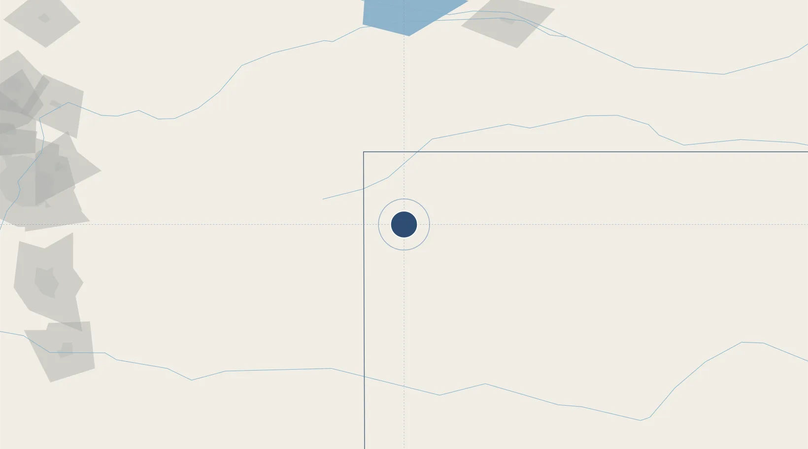
39.3707°, -101.6998°
5,499 ft
Longest runway
3
Runways
3,656 ft
Elevation
Runway & Layout

Radio Frequencies
ASOS
121.025 MHz
CNTR
132.5 MHz
DENVER CNTR
RDO
122.4 MHz
WICHITA RDO
UNIC
122.95 MHz
CTAF/UNICOM
Runways · 3
| Runway | Dimensions | Surface | True heading | Lit |
|---|---|---|---|---|
| 12/30 | 5,499 × 100ft | Concrete | 134° | ✓ |
| 05/23 | 4,001 × 75ft | Asphalt | 063° | ✓ |
| 17/35 | 1,754 × 40ft | Grass | 180° | — |
Airport Specifications
IATA code
GLD
ICAO code
KGLD
Airport class
Medium airport
Scheduled service
No
Runway surface
Concrete
Served city
Goodland
Location
Nearby Logistics Neighbours
Airports
Cities
- 1Edson15 km
- 2Saint Francis45 km
- 3Burlington49 km
- 4Calhoun63 km
- 5Arapahoe71 km
Ports
- 1Port Of Memphis1127 km
- 2Superior1131 km
- 3Duluth1132 km
- 4Two Harbors1176 km
- 5Ashland1191 km
Trade Zones
- 1FTZ No. 293 Limon172 km
- 2FTZ No. 112 Colorado Springs276 km
- 3FTZ No. 123 Denver285 km
- 4FTZ No. 298 Jefferson County299 km
- 5FTZ No. 161 Sedgwick County390 km
DatabookThe Record of Consolidated Knowledge
United States beyond logistics?