Transport Functions
Rail
Road
Hub Profile
Place type
Populated place
Region
Colorado
Time zone
America/Denver
Elevation
1,221 m
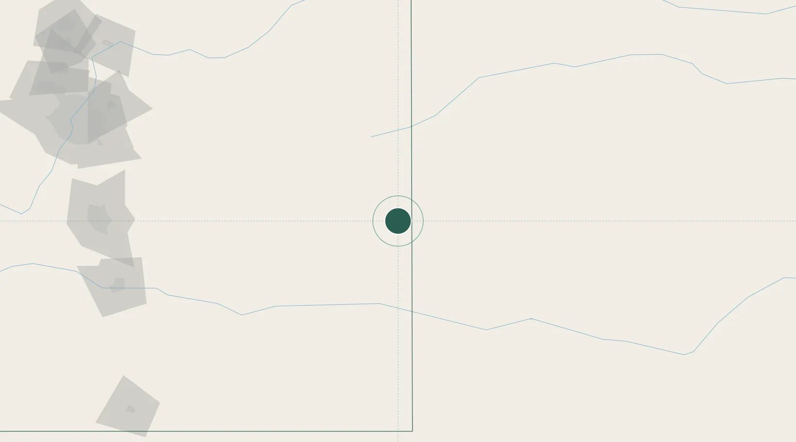
Location
Nearby Logistics Neighbours
Cities
- 1Cheyenne Wells16 km
- 2Burlington51 km
- 3Edson77 km
- 4Saint Francis107 km
- 5Scott City117 km
Airports
Trade Zones
- 1FTZ No. 293 Limon139 km
- 2FTZ No. 112 Colorado Springs230 km
- 3FTZ No. 123 Denver262 km
- 4FTZ No. 298 Jefferson County276 km
- 5FTZ No. 161 Sedgwick County406 km
DatabookThe Record of Consolidated Knowledge
United States beyond logistics?