Medium airport · United States

Garden City Regional AirportKGCK

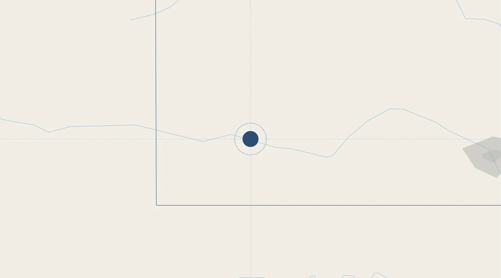
37.9275°, -100.7240°
7,299 ft
Longest runway
2
Runways
2,891 ft
Elevation

Runway & Layout

Garden City Regional Airport runway & taxiway layout
Runway & taxiway layout — OpenStreetMap (ODbL) / OurAirports

Radio Frequencies

ASOS
121.325 MHz
TWR
118.15 MHz
GND
119 MHz
CTAF
118.15 MHz
CNTR
125.2 MHz
KANSAS CITY CNTR
RDO
122.45 MHz
WICHITA RDO
UNIC
122.95 MHz
UNICOM
OurAirports

Navaids

GC NDB Pieve 347 kHz
GCK VORTAC Garden City 113.30 MHz
OurAirports

Runways · 2

RunwayDimensions SurfaceTrue headingLit
17/35 7,299 × 100ft Asphalt / concrete 180°
12/30 5,700 × 100ft Concrete 135°
OurAirports

Airport Specifications

IATA code
GCK
OurAirports
ICAO code
KGCK
OurAirports
Airport class
Medium airport
OurAirports
Scheduled service
Yes
OurAirports
Runway surface
Asphalt / concrete
OurAirports
Served city
Garden City
OurAirports

Location

Location of KGCK
Natural Earth 10m (public domain) · Kansas · KGCK · 37.93, -100.72GoogleOSMYandex

Nearby Logistics Neighbours

Airports
  1. 1Dodge City Regional Airport69 km
  2. 2Liberal Mid-America Regional Airport100 km
  3. 3Guymon Municipal Airport155 km
  4. 4Hays Regional Airport162 km
  5. 5Southeast Colorado Regional Airport173 km
Nearest neighbours — logibook spatial index (haversine) over the source coordinates
Cities
  1. 1Montezuma44 km
  2. 2Sublette51 km
  3. 3Scott City64 km
  4. 4Healy75 km
  5. 5Moscow80 km
Nearest neighbours — logibook spatial index (haversine) over the source coordinates
Ports
  1. 1Deer Park1036 km
  2. 2Houston1038 km
  3. 3Pasadena1045 km
  4. 4Baytown1052 km
  5. 5Beaumont1065 km
Nearest neighbours — logibook spatial index (haversine) over the source coordinates
Trade Zones
  1. 1FTZ No. 161 Sedgwick County262 km
  2. 2FTZ No. 293 Limon297 km
  3. 3FTZ No. 252 Amarillo320 km
  4. 4FTZ No. 112 Colorado Springs371 km
  5. 5FTZ No. 106 Oklahoma City395 km
Nearest neighbours — logibook spatial index (haversine) over the source coordinates
DatabookThe Record of Consolidated Knowledge
United States beyond logistics?
Browse databook

All Sources

AirportsOurAirports
Public domain
Portsthe NGA World Port Index
Public domain (US gov)
LocationsUN/LOCODE
UN/LOCODE — free
Trade Zonesthe World Bank SEZ database
CC BY 4.0
Trade ZonesOpen Zone Map
CC BY
InfrastructureOpenStreetMap
ODbL 1.0
← United States airports