UN/LOCODE hub · United States
USJJO
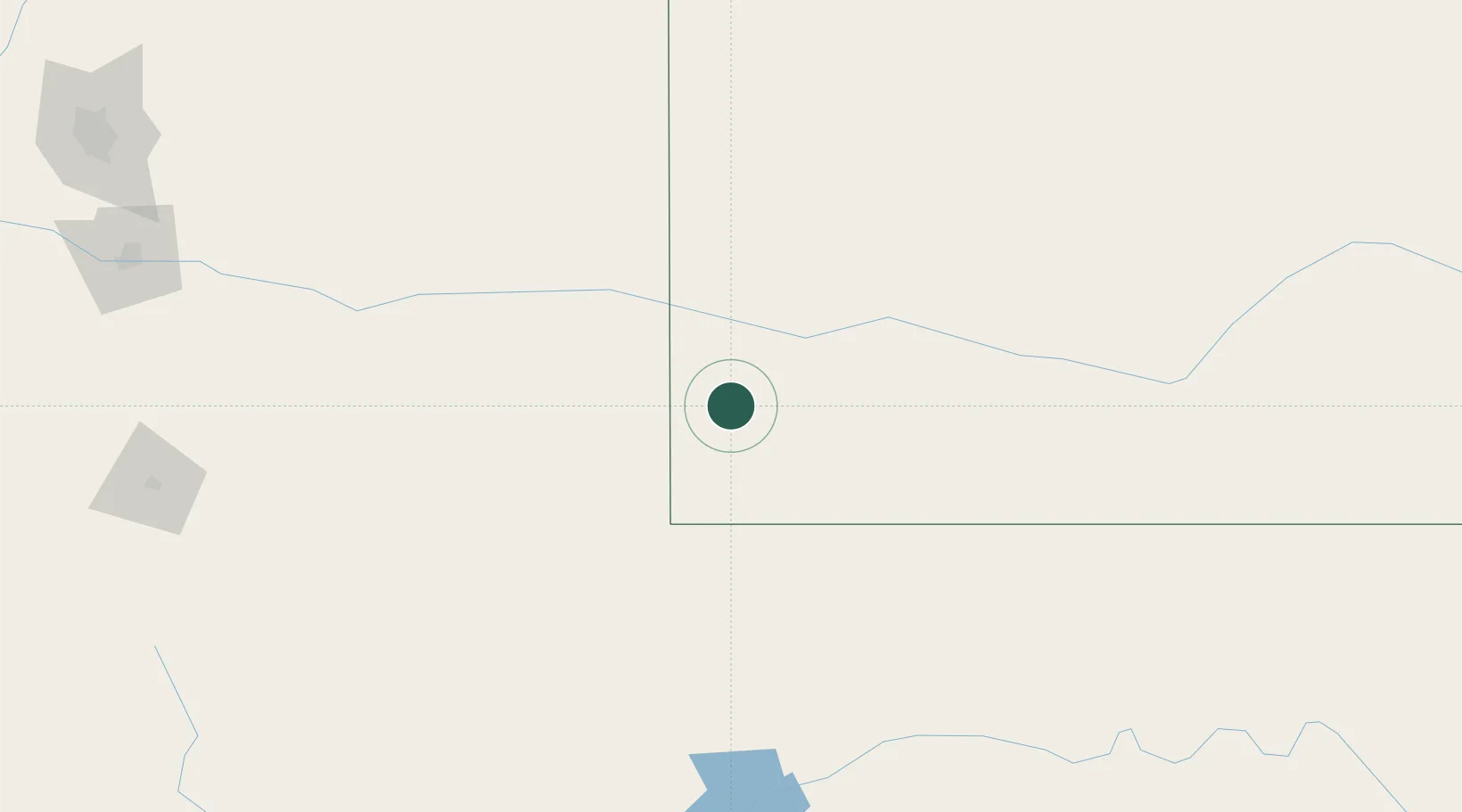
Johnson
37.5667°, -101.7500°
1,327
Population
2
Transport functions
Transport Functions
Road
Multimodal
Hub Profile
Place type
Populated place
Region
Kansas
Population
1,327
Time zone
America/Chicago
Elevation
1,017 m
Location
Nearby Logistics Neighbours
Airports
Trade Zones
- 1FTZ No. 293 Limon253 km
- 2FTZ No. 252 Amarillo263 km
- 3FTZ No. 112 Colorado Springs303 km
- 4FTZ No. 161 Sedgwick County352 km
- 5FTZ No. 123 Denver371 km
DatabookThe Record of Consolidated Knowledge
United States beyond logistics?