UN/LOCODE hub · United States
USLGO
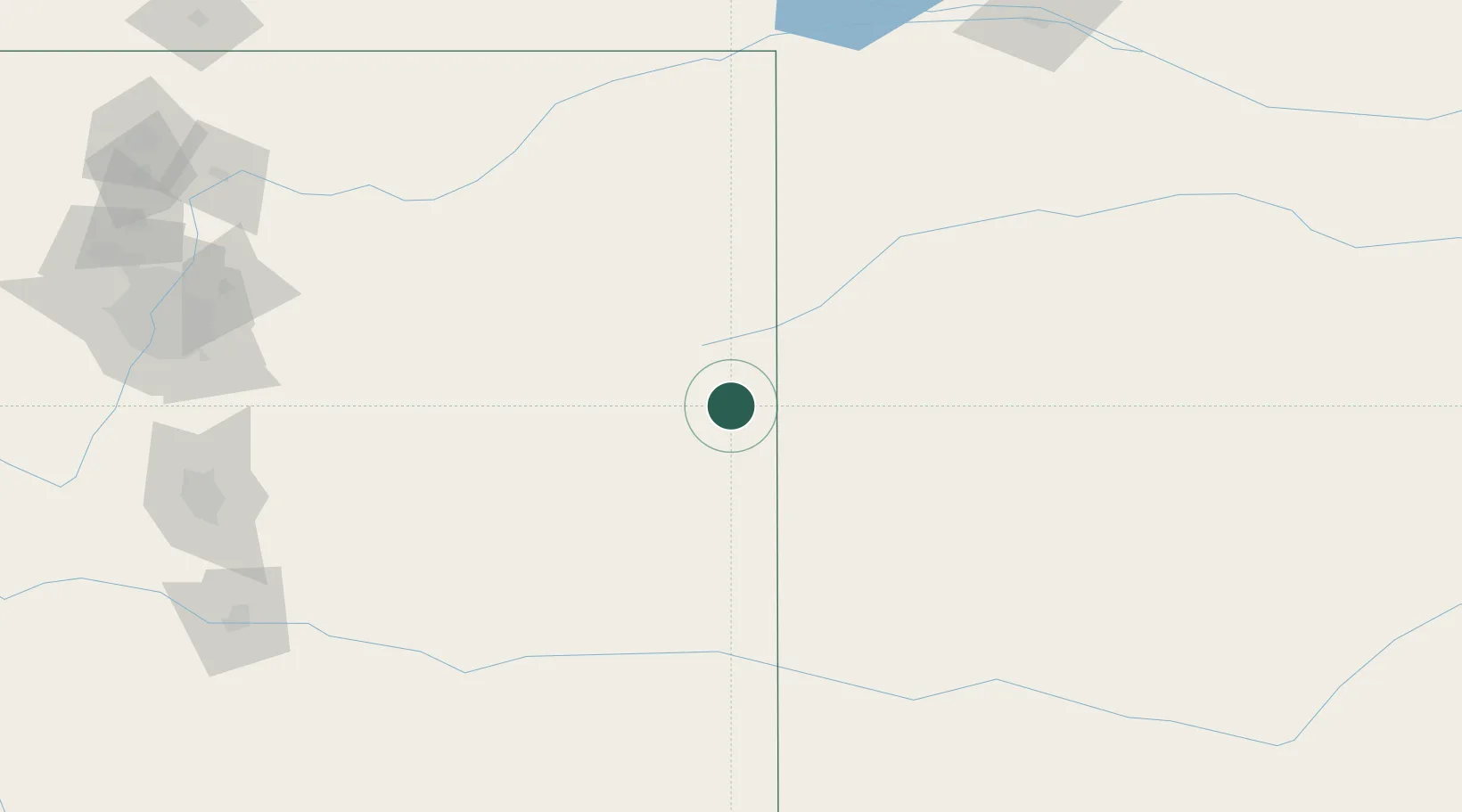
Burlington
39.3000°, -102.2667°
3,720
Population
2
Transport functions
Transport Functions
Rail
Road
Hub Profile
Place type
Provincial seat
Region
Colorado
Population
3,720
Time zone
America/Denver
Elevation
1,271 m
Location
Nearby Logistics Neighbours
Cities
- 1Arapahoe51 km
- 2Cheyenne Wells54 km
- 3Edson63 km
- 4Saint Francis66 km
- 5Calhoun86 km
Airports
Trade Zones
- 1FTZ No. 293 Limon122 km
- 2FTZ No. 112 Colorado Springs227 km
- 3FTZ No. 123 Denver239 km
- 4FTZ No. 298 Jefferson County253 km
- 5FTZ No. 161 Sedgwick County431 km
DatabookThe Record of Consolidated Knowledge
United States beyond logistics?