Medium airport · United States
Bozeman Yellowstone International AirportKBZN
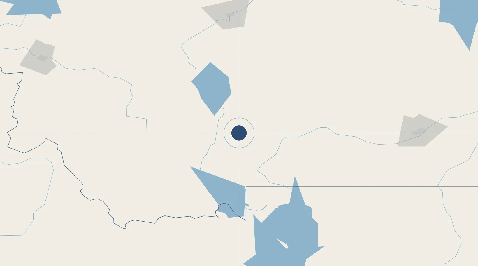
45.7789°, -111.1537°
8,994 ft
Longest runway
4
Runways
4,473 ft
Elevation
Runway & Layout

Radio Frequencies
ATIS
135.425 MHz
TWR
118.2 MHz
BOZEMAN TWR
GND
121.8 MHz
CTAF
118.2 MHz
CNTR
132.4 MHz
SALT LAKE CITY CNTR
RDO
122.5 MHz
GREAT FALLS RDO
UNIC
122.95 MHz
UNICOM
Navaids
BZ NDB Manni 266 kHz
BZN VOR-DME Bozeman 112.40 MHz
Runways · 4
| Runway | Dimensions | Surface | True heading | Lit |
|---|---|---|---|---|
| 12/30 | 8,994 × 150ft | Asphalt | 136° | ✓ |
| 11/29 | 5,050 × 75ft | Asphalt | 136° | ✓ |
| 11G/29G | 2,802 × 80ft | Grass | 136° | — |
| 03/21 | 2,650 × 75ft | Asphalt | 046° | — |
Airport Specifications
IATA code
BZN
ICAO code
KBZN
Airport class
Medium airport
Scheduled service
Yes
Runway surface
Asphalt
Served city
Bozeman
Location
Nearby Logistics Neighbours
Airports
- 1Mission Field56 km
- 2Bert Mooney Airport106 km
- 3Helena Regional Airport112 km
- 4Yellowstone Airport121 km
- 5Great Falls International Airport190 km
Cities
- 1Belgrade2 km
- 2Gallatin Gateway21 km
- 3Three Forks Junction35 km
- 4Clancy100 km
- 5Montana City103 km
Ports
- 1The Dalles779 km
- 2Sacramento1167 km
- 3Courtland1192 km
- 4Walnut Grove1197 km
- 5Isleton1207 km
Trade Zones
- 1FTZ No. 275 Lansing110 km
- 2FTZ No. 274 Butte-Silver Bow137 km
- 3FTZ No. 088 Great Falls193 km
- 4FTZ No. 187 Toole County326 km
- 5FTZ No. 224 Spokane526 km
DatabookThe Record of Consolidated Knowledge
United States beyond logistics?