Medium airport · United States

Bicycle Lake Army Air FieldKBYS

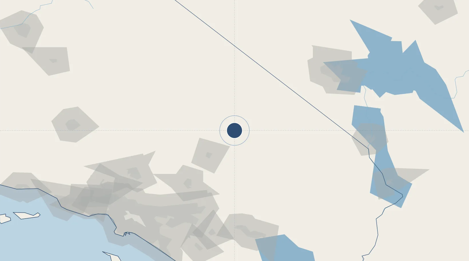
35.2805°, -116.6300°
9,631 ft
Longest runway
2
Runways
2,350 ft
Elevation

Runway & Layout

Bicycle Lake Army Air Field runway & taxiway layout
Runway & taxiway layout — OpenStreetMap (ODbL) / OurAirports

Radio Frequencies

A/G
41.65 MHz
DESERT RDO NORTH
INFO
41.5 MHz
DESERT RDO ROZ 1
RDO
41 MHz
DESERT RDO SOUTH
OurAirports

Navaids

DAG VORTAC Daggett 113.20 MHz
OurAirports

Runways · 2

RunwayDimensions SurfaceTrue headingLit
04/22 9,631 × 175ft Graded earth 052°
13/31 6,124 × 175ft Graded earth 140°
OurAirports

Airport Specifications

IATA code
BYS
OurAirports
ICAO code
KBYS
OurAirports
Airport class
Medium airport
OurAirports
Scheduled service
No
OurAirports
Runway surface
Graded earth
OurAirports
Served city
Fort Irwin/Barstow
OurAirports

Location

Location of KBYS
Natural Earth 10m (public domain) · California · KBYS · 35.28, -116.63GoogleOSMYandex

Nearby Logistics Neighbours

Airports
  1. 1Barstow Daggett Airport50 km
  2. 2China Lake Naws (Armitage Field) Airport106 km
  3. 3Twentynine Palms Strategic Expeditionary Landing Field118 km
  4. 4Edwards Air Force Base122 km
  5. 5California City Municipal Airport127 km
Nearest neighbours — logibook spatial index (haversine) over the source coordinates
Cities
  1. 1Shoshone83 km
  2. 2Searles94 km
  3. 3Oro Grande99 km
  4. 4Boron101 km
  5. 5Amboy115 km
Nearest neighbours — logibook spatial index (haversine) over the source coordinates
Ports
  1. 1Newport Beach219 km
  2. 2Long Beach220 km
  3. 3El Segundo224 km
  4. 4Los Angeles226 km
  5. 5Avalon265 km
Nearest neighbours — logibook spatial index (haversine) over the source coordinates
Trade Zones
  1. 1FTZ No. 089 Clark County86 km
  2. 2FTZ No. 170 Clark County86 km
  3. 3FTZ No. 243 Victorville103 km
  4. 4FTZ No. 191 Palmdale156 km
  5. 5FTZ No. 236 Palm Springs162 km
Nearest neighbours — logibook spatial index (haversine) over the source coordinates
DatabookThe Record of Consolidated Knowledge
United States beyond logistics?
Browse databook

All Sources

AirportsOurAirports
Public domain
Portsthe NGA World Port Index
Public domain (US gov)
LocationsUN/LOCODE
UN/LOCODE — free
Trade Zonesthe World Bank SEZ database
CC BY 4.0
Trade ZonesOpen Zone Map
CC BY
InfrastructureOpenStreetMap
ODbL 1.0
← United States airports