UN/LOCODE hub · United States
USZD9
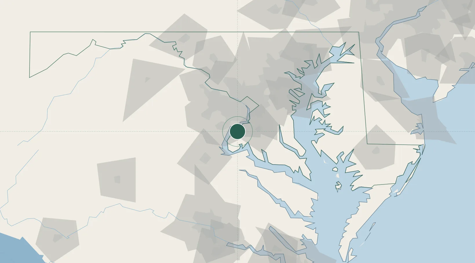
Indian Head
38.6000°, -77.1500°
3,857
Population
1
Transport functions
Transport Functions
Multimodal
Hub Profile
Place type
Populated place
Region
Maryland
Population
3,857
Time zone
America/New_York
Elevation
29 m
Location
Nearby Logistics Neighbours
Cities
- 1Triangle17 km
- 2White Plains19 km
- 3Bristow23 km
- 4Alexandria24 km
- 5Marlow Heights30 km
Ports
- 1Alexandria24 km
- 2Washington D.C.31 km
- 3Fredericksburg42 km
- 4Solomons Island69 km
- 5Annapolis72 km
Airports
Trade Zones
DatabookThe Record of Consolidated Knowledge
United States beyond logistics?