Transport Functions
Road
Multimodal
Hub Profile
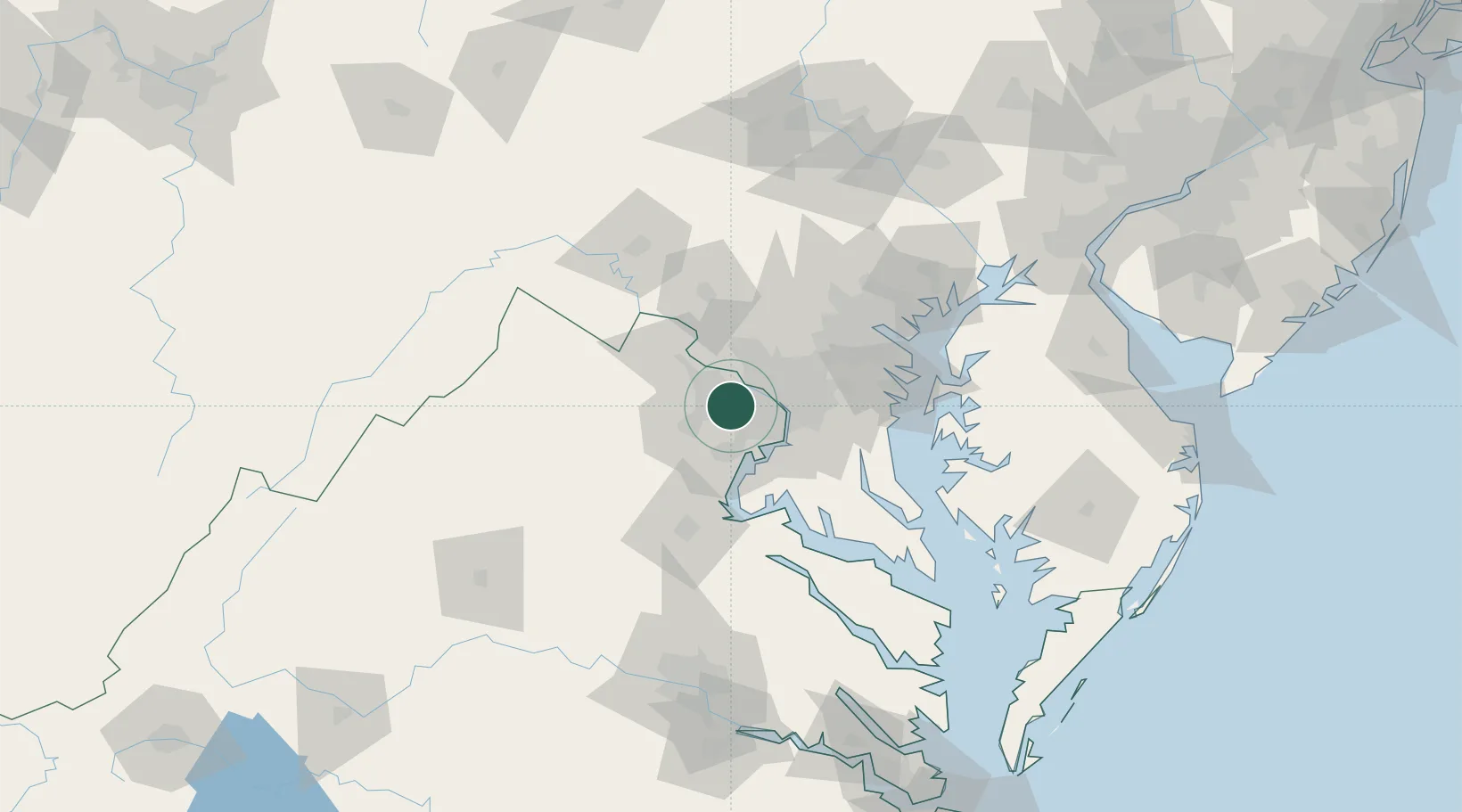
Place type
Populated place
Region
Virginia
Population
34,166
Time zone
America/New_York
Elevation
127 m
Location
Nearby Logistics Neighbours
Cities
- 1Willston9 km
- 2Great Falls11 km
- 3Bristow13 km
- 4Oak Grove14 km
- 5Langley14 km
Ports
- 1Washington D.C.23 km
- 2Alexandria25 km
- 3Fredericksburg66 km
- 4Annapolis72 km
- 5Baltimore75 km
Airports
Trade Zones
DatabookThe Record of Consolidated Knowledge
United States beyond logistics?