Medium airport · United States

Quantico Marine Corps Airfield / Turner FieldKNYG

38.5017°, -77.3053°
4,250 ft
Longest runway
1
Runways
10 ft
Elevation

Runway & Layout

Quantico Marine Corps Airfield / Turner Field runway & taxiway layout
Runway & taxiway layout — OpenStreetMap (ODbL) / OurAirports

Radio Frequencies

ATIS
26.315 MHz
TWR
118.6 MHz
GND
121.75 MHz
A/D
124.65 MHz
POTOMAC APP/DEP
ARR
127.05 MHz
ARRIVAL
PMSV
35.53 MHz
PMSV METRO/BASE OPS
OurAirports

Runways · 1

RunwayDimensions SurfaceTrue headingLit
02/20 4,250 × 184ft Asphalt 015°
OurAirports

Airport Specifications

IATA code
NYG
OurAirports
ICAO code
KNYG
OurAirports
Airport class
Medium airport
OurAirports
Scheduled service
No
OurAirports
Runway surface
Asphalt
OurAirports
Served city
Quantico
OurAirports

Location

Location of KNYG
Natural Earth 10m (public domain) · Maryland · KNYG · 38.50, -77.31GoogleOSMYandex

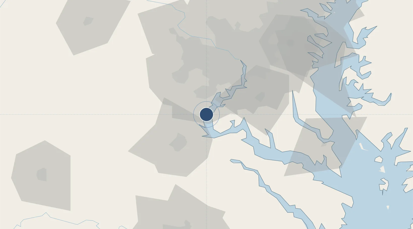
Nearby Logistics Neighbours

Airports
  1. 1Davison Army Air Field26 km
  2. 2Manassas Regional Airport/Harry P. Davis Field31 km
  3. 3Ronald Reagan Washington National Airport45 km
  4. 4Washington Dulles International Airport51 km
  5. 5Joint Base Andrews51 km
Nearest neighbours — logibook spatial index (haversine) over the source coordinates
Cities
  1. 1Triangle6 km
  2. 2Indian Head17 km
  3. 3King George28 km
  4. 4Nokesville30 km
  5. 5White Plains34 km
Nearest neighbours — logibook spatial index (haversine) over the source coordinates
Ports
  1. 1Fredericksburg26 km
  2. 2Alexandria41 km
  3. 3Washington D.C.47 km
  4. 4Solomons Island77 km
  5. 5Piney Point79 km
Nearest neighbours — logibook spatial index (haversine) over the source coordinates
Trade Zones
  1. 1FTZ No. 063 PrInce Georges County39 km
  2. 2FTZ No. 137 Washington Dulles International Airport52 km
  3. 3FTZ No. 185 Culpeper County66 km
  4. 4FTZ No. 073 BWI Airport93 km
  5. 5FTZ No. 074 Baltimore105 km
Nearest neighbours — logibook spatial index (haversine) over the source coordinates
DatabookThe Record of Consolidated Knowledge
United States beyond logistics?
Browse databook

All Sources

AirportsOurAirports
Public domain
Portsthe NGA World Port Index
Public domain (US gov)
LocationsUN/LOCODE
UN/LOCODE — free
Trade Zonesthe World Bank SEZ database
CC BY 4.0
Trade ZonesOpen Zone Map
CC BY
InfrastructureOpenStreetMap
ODbL 1.0
← United States airports