Medium airport · United States

Manassas Regional Airport/Harry P. Davis FieldKHEF
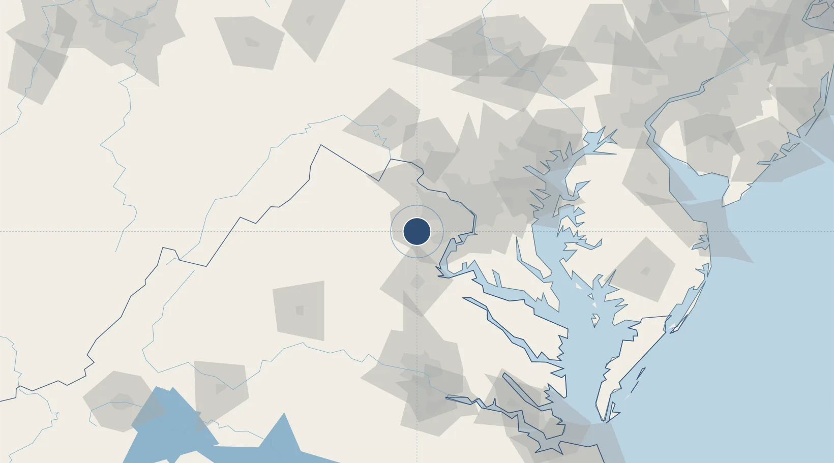
38.7214°, -77.5154°
6,200 ft
Longest runway
2
Runways
192 ft
Elevation

Runway & Layout

Manassas Regional Airport/Harry P. Davis Field runway & taxiway layout
Runway & taxiway layout — OpenStreetMap (ODbL) / OurAirports

Radio Frequencies

ATIS
125.175 MHz
AWOS
120.35 MHz
KHWY AWOS-3 (12nm SW)
TWR
133.1 MHz
GND
121.8 MHz
CLD
120.2 MHz
POTOMAC CLNC DEL
CTAF
133.1 MHz
A/D
128.525 MHz
POTOMAC APP/DEP
OurAirports

Runways · 2

RunwayDimensions SurfaceTrue headingLit
16L/34R 6,200 × 100ft Asphalt 151°
16R/34L 3,715 × 75ft Asphalt 151°
OurAirports

Airport Specifications

IATA code
MNZ
OurAirports
ICAO code
KHEF
OurAirports
Airport class
Medium airport
OurAirports
Scheduled service
No
OurAirports
Runway surface
Asphalt
OurAirports
Served city
Manassas
OurAirports

Location

Location of KHEF
Natural Earth 10m (public domain) · Virginia · KHEF · 38.72, -77.52GoogleOSMYandex

Nearby Logistics Neighbours

Airports
  1. 1Washington Dulles International Airport25 km
  2. 2Davison Army Air Field29 km
  3. 3Quantico Marine Corps Airfield / Turner Field31 km
  4. 4Ronald Reagan Washington National Airport44 km
  5. 5Joint Base Andrews57 km
Nearest neighbours — logibook spatial index (haversine) over the source coordinates
Cities
  1. 1Nokesville6 km
  2. 2Gainesville11 km
  3. 3Marshall12 km
  4. 4Calverton18 km
  5. 5Midland23 km
Nearest neighbours — logibook spatial index (haversine) over the source coordinates
Ports
  1. 1Alexandria43 km
  2. 2Washington D.C.45 km
  3. 3Fredericksburg47 km
  4. 4Annapolis94 km
  5. 5Baltimore101 km
Nearest neighbours — logibook spatial index (haversine) over the source coordinates
Trade Zones
  1. 1FTZ No. 137 Washington Dulles International Airport26 km
  2. 2FTZ No. 063 PrInce Georges County33 km
  3. 3FTZ No. 185 Culpeper County54 km
  4. 4FTZ No. 073 BWI Airport89 km
  5. 5FTZ No. 240 Martinsburg92 km
Nearest neighbours — logibook spatial index (haversine) over the source coordinates
DatabookThe Record of Consolidated Knowledge
United States beyond logistics?
Browse databook

All Sources

AirportsOurAirports
Public domain
Portsthe NGA World Port Index
Public domain (US gov)
LocationsUN/LOCODE
UN/LOCODE — free
Trade Zonesthe World Bank SEZ database
CC BY 4.0
Trade ZonesOpen Zone Map
CC BY
InfrastructureOpenStreetMap
ODbL 1.0
← United States airports