Transport Functions
Rail
Road
Hub Profile
Place type
Populated place
Region
Texas
Time zone
America/Chicago
Elevation
136 m
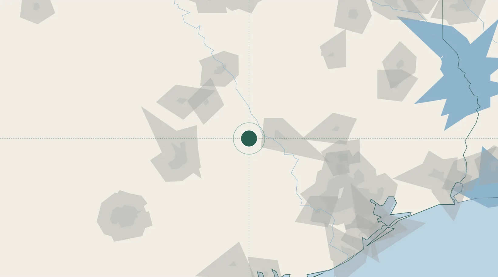
Location
Nearby Logistics Neighbours
Cities
- 1Mumford26 km
- 2San Gabriel41 km
- 3Thorndale42 km
- 4Giddings51 km
- 5Carmine53 km
Airports
Trade Zones
- 1FTZ No. 183 Austin101 km
- 2FTZ No. 246 Waco116 km
- 3FTZ No. 084 Harris County166 km
- 4FTZ No. 171 Liberty County168 km
- 5FTZ No. 113 Ellis County191 km
DatabookThe Record of Consolidated Knowledge
United States beyond logistics?