Medium airport · United States

Grand Canyon National Park AirportKGCN

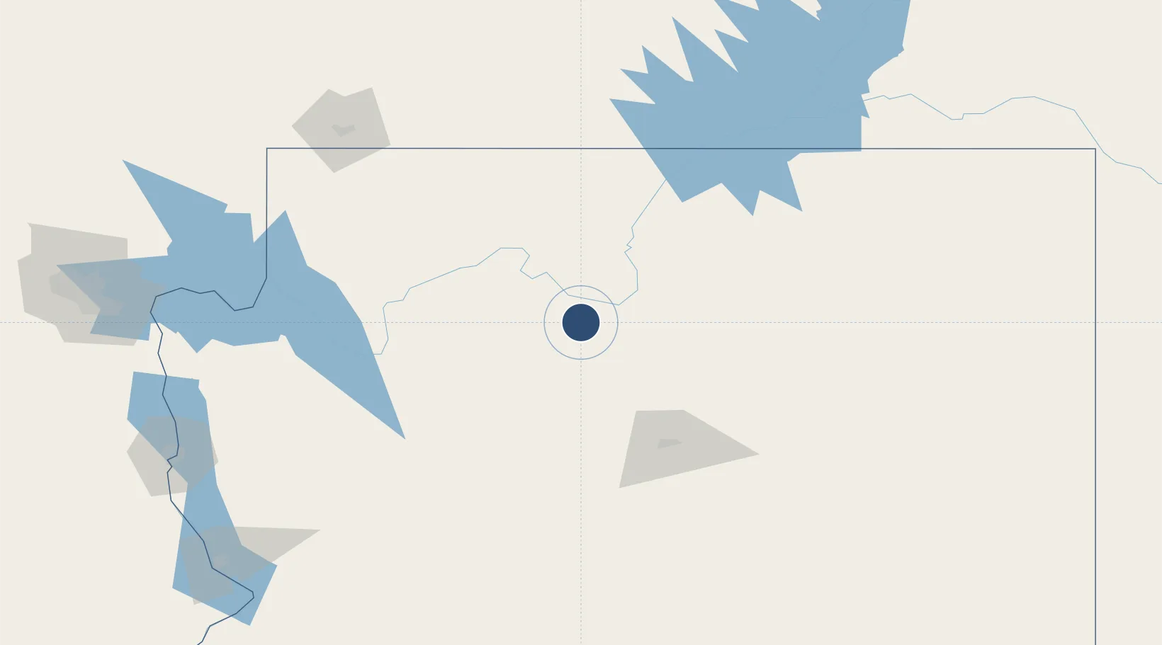
35.9524°, -112.1470°
8,999 ft
Longest runway
1
Runways
6,609 ft
Elevation

Runway & Layout

Grand Canyon National Park Airport runway & taxiway layout
Runway & taxiway layout — OpenStreetMap (ODbL) / OurAirports

Radio Frequencies

ATIS
124.3 MHz
ASOS
124.3 MHz
TWR
119 MHz
CANYON TWR
GND
121.9 MHz
CTAF
119 MHz
CNTR
124.85 MHz
LOS ANGELES CNTR
RDO
122.3 MHz
PRESCOTT RDO
UNIC
122.95 MHz
UNICOM
OurAirports

Navaids

GCN VOR-DME Grand Canyon 113.10 MHz
OurAirports

Runways · 1

RunwayDimensions SurfaceTrue headingLit
03/21 8,999 × 150ft Asphalt 041°
OurAirports

Airport Specifications

IATA code
GCN
OurAirports
ICAO code
KGCN
OurAirports
Airport class
Medium airport
OurAirports
Scheduled service
Yes
OurAirports
Runway surface
Asphalt
OurAirports
Served city
Grand Canyon - Tusayan
OurAirports

Location

Location of KGCN
Natural Earth 10m (public domain) · Arizona · KGCN · 35.95, -112.15GoogleOSMYandex

Nearby Logistics Neighbours

Airports
  1. 1Flagstaff Pulliam Airport100 km
  2. 2Page Municipal Airport125 km
  3. 3Prescott Regional Airport - Ernest A. Love Field147 km
  4. 4Winslow Lindbergh Regional Airport165 km
  5. 5St George Regional Airport171 km
Nearest neighbours — logibook spatial index (haversine) over the source coordinates
Cities
  1. 1Parks78 km
  2. 2Bellemont85 km
  3. 3Seligman96 km
  4. 4Drake111 km
  5. 5Cornville139 km
Nearest neighbours — logibook spatial index (haversine) over the source coordinates
Ports
  1. 1San Diego586 km
  2. 2Newport Beach586 km
  3. 3Long Beach602 km
  4. 4Rosarito605 km
  5. 5Los Angeles608 km
Nearest neighbours — logibook spatial index (haversine) over the source coordinates
Trade Zones
  1. 1FTZ No. 277 Western Maricopa County269 km
  2. 2FTZ No. 075 Phoenix279 km
  3. 3FTZ No. 221 Mesa284 km
  4. 4FTZ No. 170 Clark County355 km
  5. 5FTZ No. 089 Clark County355 km
Nearest neighbours — logibook spatial index (haversine) over the source coordinates
DatabookThe Record of Consolidated Knowledge
United States beyond logistics?
Browse databook

All Sources

AirportsOurAirports
Public domain
Portsthe NGA World Port Index
Public domain (US gov)
LocationsUN/LOCODE
UN/LOCODE — free
Trade Zonesthe World Bank SEZ database
CC BY 4.0
Trade ZonesOpen Zone Map
CC BY
InfrastructureOpenStreetMap
ODbL 1.0
← United States airports