UN/LOCODE hub · United States
USJSS
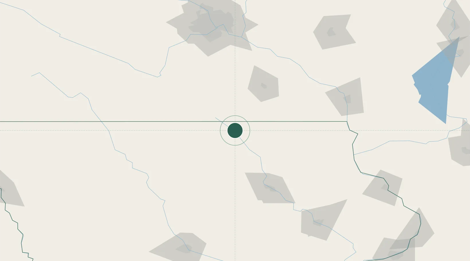
Saint Ansgar
43.3667°, -92.9167°
1,107
Population
2
Transport functions
Transport Functions
Rail
Road
Hub Profile
Place type
Populated place
Region
Iowa
Population
1,107
Time zone
America/Chicago
Elevation
357 m
Location
Nearby Logistics Neighbours
Cities
- 1Osage12 km
- 2Lake Mills50 km
- 3Blooming Prairie57 km
- 4Sheffield59 km
- 5Garner63 km
Airports
Trade Zones
DatabookThe Record of Consolidated Knowledge
United States beyond logistics?