Medium airport · United States

Fort Dodge Regional AirportKFOD
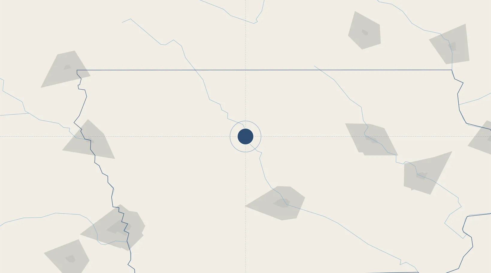
42.5526°, -94.1912°
6,547 ft
Longest runway
2
Runways
1,156 ft
Elevation

Runway & Layout

Fort Dodge Regional Airport runway & taxiway layout
Runway & taxiway layout — OpenStreetMap (ODbL) / OurAirports

Radio Frequencies

AWOS
118.775 MHz
AWOS 3
CNTR
134 MHz
MINNEAPOLIS CNTR
RDO
122.3 MHz
UNIC
122.95 MHz
CTAF/UNICOM
OurAirports

Navaids

FO NDB Barro 341 kHz
FOD VORTAC Fort Dodge 113.50 MHz
OurAirports

Runways · 2

RunwayDimensions SurfaceTrue headingLit
06/24 6,547 × 150ft Asphalt 065°
12/30 5,301 × 100ft Asphalt 127°
OurAirports

Airport Specifications

IATA code
FOD
OurAirports
ICAO code
KFOD
OurAirports
Airport class
Medium airport
OurAirports
Scheduled service
Yes
OurAirports
Runway surface
Asphalt
OurAirports
Served city
Fort Dodge
OurAirports

Location

Location of KFOD
Natural Earth 10m (public domain) · Iowa · KFOD · 42.55, -94.19GoogleOSMYandex

Nearby Logistics Neighbours

Airports
  1. 1Mason City Municipal Airport97 km
  2. 2Des Moines International Airport122 km
  3. 3Northeast Iowa Regional Airport141 km
  4. 4Waterloo Regional Airport147 km
  5. 5Sioux Gateway Airport / Brigadier General Bud Day Field181 km
Nearest neighbours — logibook spatial index (haversine) over the source coordinates
Cities
  1. 1Gilmore City27 km
  2. 2Goldfield30 km
  3. 3Rockwell City41 km
  4. 4Ellsworth45 km
  5. 5Blairsburg45 km
Nearest neighbours — logibook spatial index (haversine) over the source coordinates
Ports
  1. 1Superior494 km
  2. 2Duluth497 km
  3. 3Kaukauna516 km
  4. 4Ashland521 km
  5. 5Washburn527 km
Nearest neighbours — logibook spatial index (haversine) over the source coordinates
Trade Zones
  1. 1FTZ No. 107 Polk County106 km
  2. 2FTZ No. 288 Northwest Iowa168 km
  3. 3FTZ No. 175 Cedar Rapids207 km
  4. 4FTZ No. 220 Sioux Falls239 km
  5. 5FTZ No. 119 Minneapolis-St. Paul279 km
Nearest neighbours — logibook spatial index (haversine) over the source coordinates
DatabookThe Record of Consolidated Knowledge
United States beyond logistics?
Browse databook

All Sources

AirportsOurAirports
Public domain
Portsthe NGA World Port Index
Public domain (US gov)
LocationsUN/LOCODE
UN/LOCODE — free
Trade Zonesthe World Bank SEZ database
CC BY 4.0
Trade ZonesOpen Zone Map
CC BY
InfrastructureOpenStreetMap
ODbL 1.0
← United States airports