Transport Functions
Road
Multimodal
Hub Profile
Place type
Urban district
Region
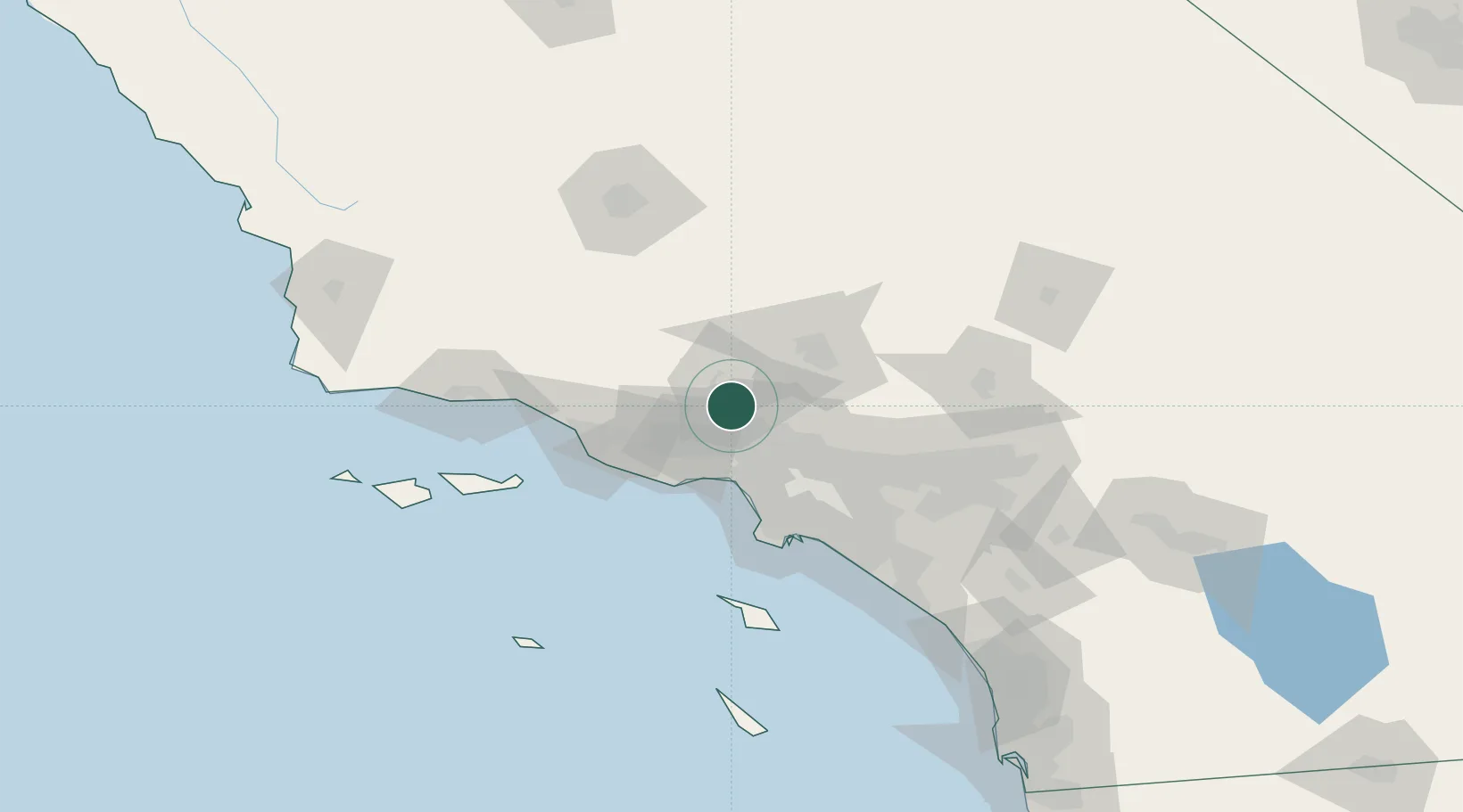
California
Time zone
America/Los_Angeles
Elevation
383 m
Location
Nearby Logistics Neighbours
Cities
- 1Saugus4 km
- 2Valencia8 km
- 3Castaic15 km
- 4North Hills17 km
- 5Vermont26 km
Ports
- 1El Segundo53 km
- 2Port Hueneme67 km
- 3Ventura70 km
- 4Los Angeles75 km
- 5Long Beach76 km
Airports
Trade Zones
- 1FTZ No. 191 Palmdale44 km
- 2FTZ No. 205 Port Hueneme67 km
- 3FTZ No. 050 Long Beach73 km
- 4FTZ No. 202 Los Angeles75 km
- 5FTZ No. 243 Victorville109 km
DatabookThe Record of Consolidated Knowledge
United States beyond logistics?