Medium airport · United States
Lake Havasu City AirportKHII
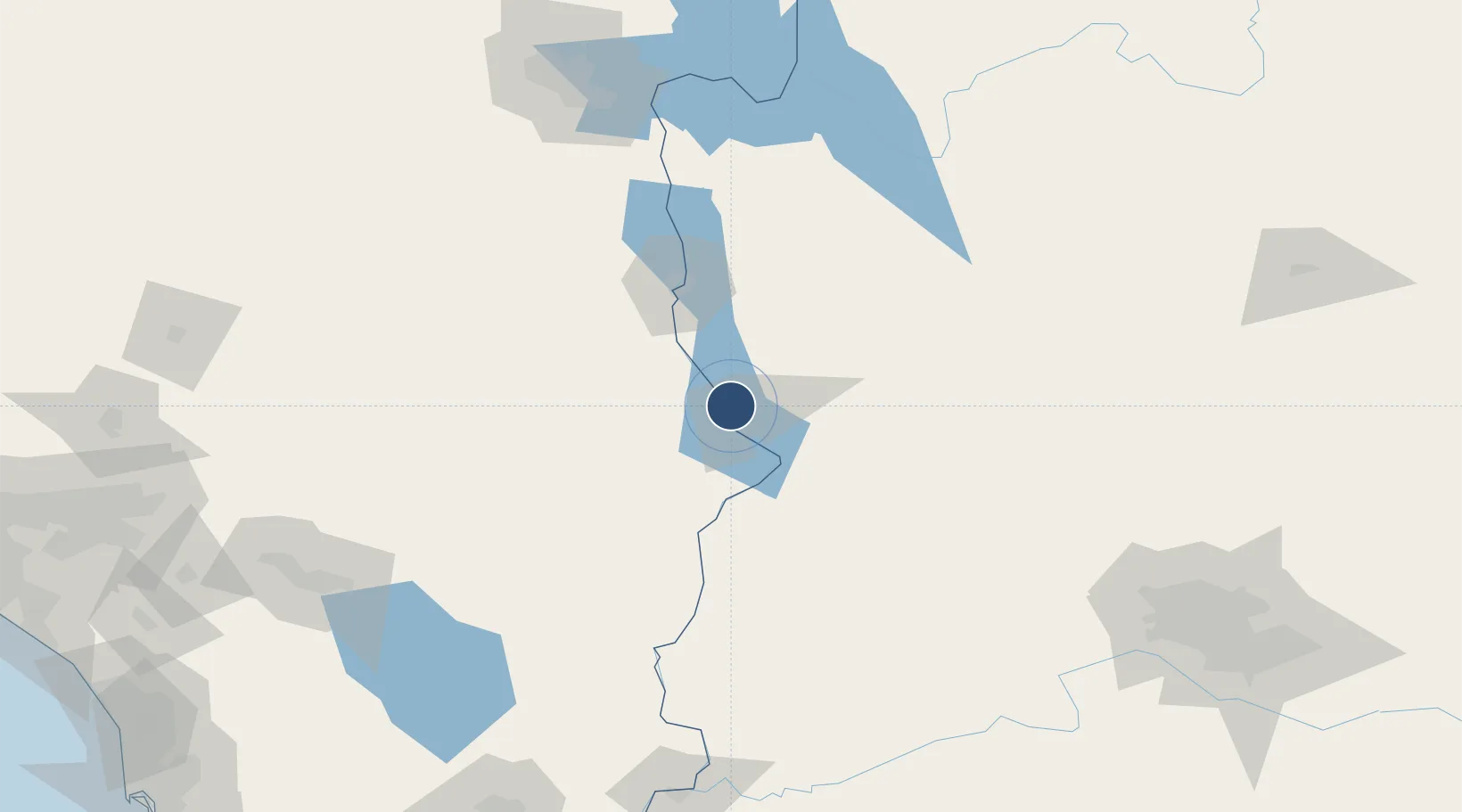
34.5705°, -114.3577°
8,000 ft
Longest runway
1
Runways
783 ft
Elevation
Runway & Layout

Radio Frequencies
AWOS
119.025 MHz
AWOS 3
CNTR
134.65 MHz
LOS ANGELES CNTR
HARE
121.1 MHz
Lake Havasu City VORTAC
UNIC
122.7 MHz
CTAF/UNICOM
Runways · 1
| Runway | Dimensions | Surface | True heading | Lit |
|---|---|---|---|---|
| 14/32 | 8,000 × 100ft | Asphalt | 150° | ✓ |
Airport Specifications
IATA code
HII
ICAO code
KHII
Airport class
Medium airport
Scheduled service
Yes
Runway surface
Asphalt
Served city
Lake Havasu City
Location
Nearby Logistics Neighbours
Airports
- 1Needles Airport33 km
- 2Laughlin Bullhead International Airport68 km
- 3Kingman Airport86 km
- 4Blythe Airport111 km
- 5Boulder City Municipal Airport160 km
Cities
- 1Yucca38 km
- 2Fort Mohave57 km
- 3Griffith59 km
- 4Quartzsite101 km
- 5Cadiz106 km
Ports
- 1San Diego333 km
- 2Newport Beach343 km
- 3Rosarito353 km
- 4Long Beach363 km
- 5Ensenada368 km
Trade Zones
- 1FTZ No. 219 Yuma209 km
- 2FTZ No. 236 Palm Springs215 km
- 3FTZ No. 170 Clark County218 km
- 4FTZ No. 089 Clark County218 km
- 5FTZ No. 277 Western Maricopa County225 km
DatabookThe Record of Consolidated Knowledge
United States beyond logistics?