Transport Functions
Port
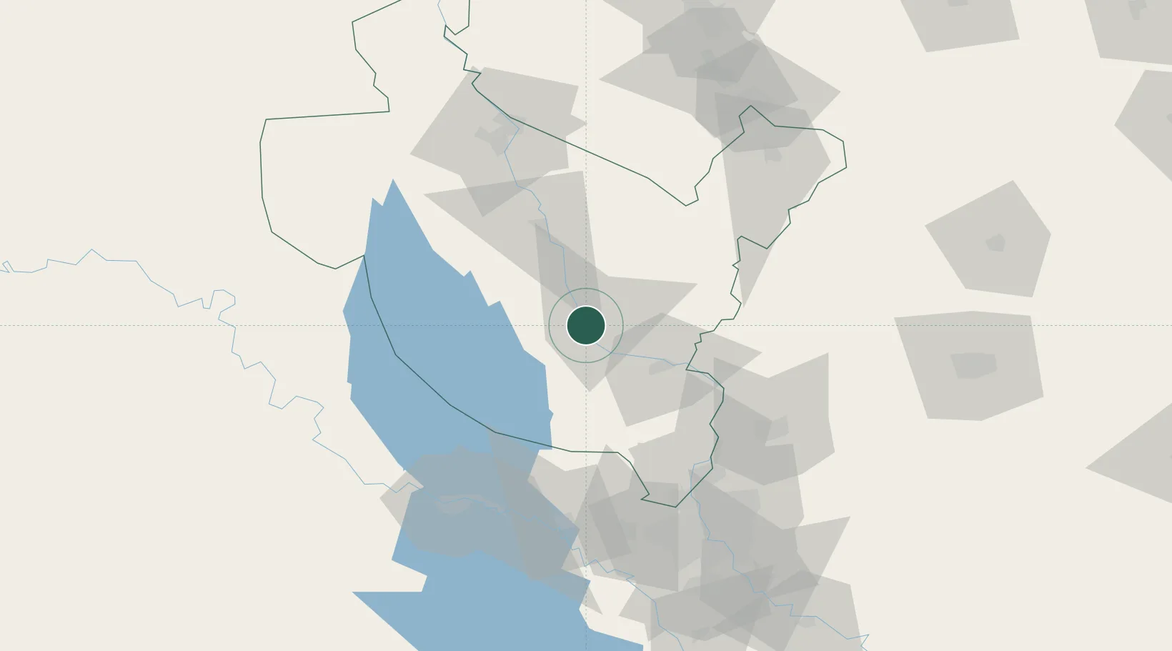
Hub Profile
Place type
Populated place
Region
Salah ad Din
Population
158,508
Time zone
Asia/Baghdad
Elevation
80 m
Location
Nearby Logistics Neighbours
Cities
- 1Balad33 km
- 2Taji85 km
- 3Ba'qubah87 km
- 4Al Taqaddum100 km
- 5Baghdåd109 km
Ports
- 1Al Basrah554 km
- 2Khorramshahr583 km
- 3Khawr Al Zubair586 km
- 4Abadan598 km
- 5Umm Qasr603 km
Airports
Trade Zones
DatabookThe Record of Consolidated Knowledge
Iraq beyond logistics?