Transport Functions
Port
Rail
Road
Hub Profile
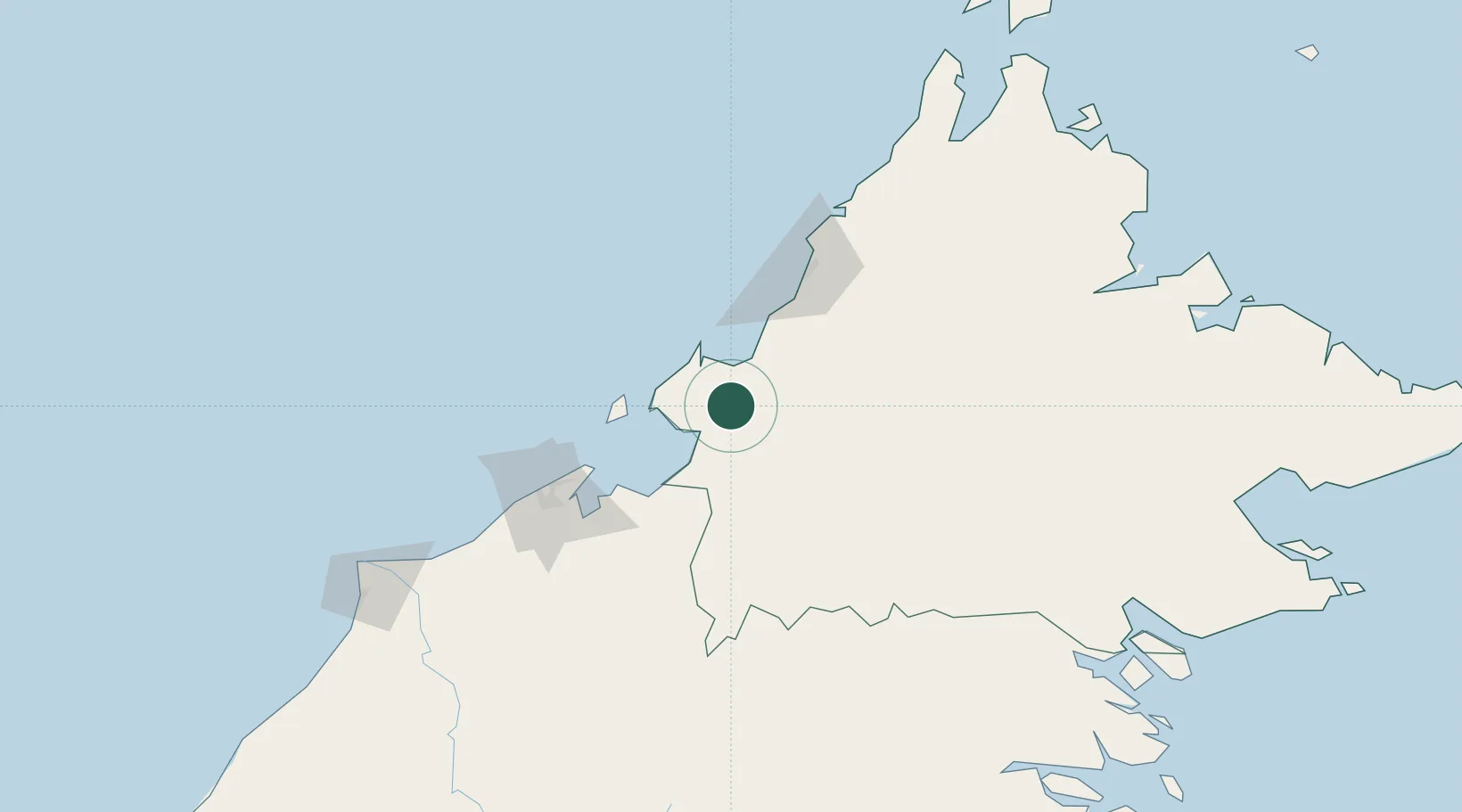
Place type
Populated place
Region
Sabah
Population
15,855
Time zone
Asia/Kuching
Elevation
18 m
Location
Nearby Logistics Neighbours
Cities
- 1Kimanis, Sabah36 km
- 2Batu Batu, Sabah40 km
- 3Menumbok43 km
- 4Labuan57 km
- 5Muara83 km
Ports
- 1Kota Kinabalu80 km
- 2Muara Harbor83 km
- 3Bandar Seri Begawan108 km
- 4Lumut160 km
- 5Seria Oil Loading Terminal178 km
Airports
- 1Labuan Airport56 km
- 2Lawas Airport66 km
- 3Kota Kinabalu International Airport74 km
- 4Limbang Airport101 km
- 5Brunei International Airport101 km
Trade Zones
DatabookThe Record of Consolidated Knowledge
Malaysia beyond logistics?