UN/LOCODE hub · Malaysia
MYBBA

Batu Batu, Sabah

5.0333°, 115.9500°
1
Transport functions

Transport Functions

Port
UN/LOCODE

Hub Profile

Region
12
GeoNames

Location

Location of MYBBA
Natural Earth 10m (public domain) · 12 · MYBBA · 5.03, 115.95GoogleOSMYandex

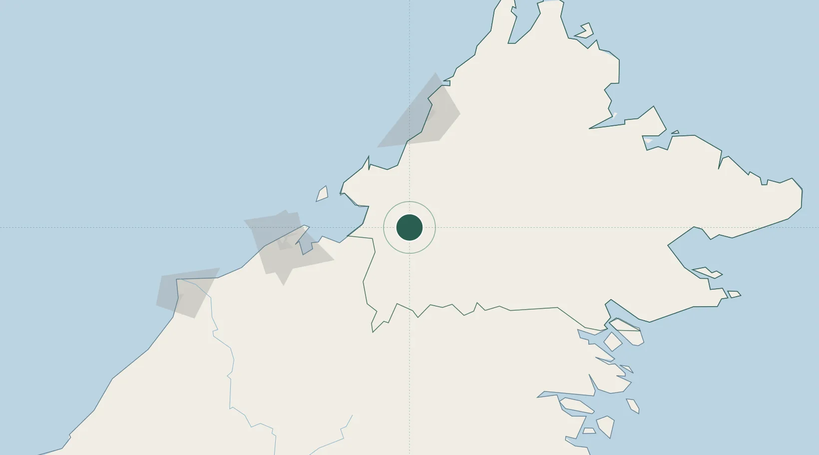
Nearby Logistics Neighbours

Cities
  1. 1Beaufort40 km
  2. 2Kimanis, Sabah65 km
  3. 3Menumbok71 km
  4. 4Labuan83 km
  5. 5Muara97 km
Nearest neighbours — logibook spatial index (haversine) over the source coordinates
Ports
  1. 1Muara Harbor98 km
  2. 2Kota Kinabalu106 km
  3. 3Bandar Seri Begawan119 km
  4. 4Lumut170 km
  5. 5Seria Oil Loading Terminal187 km
Nearest neighbours — logibook spatial index (haversine) over the source coordinates
Airports
  1. 1Lawas Airport63 km
  2. 2Labuan Airport83 km
  3. 3Kota Kinabalu International Airport101 km
  4. 4Limbang Airport107 km
  5. 5Brunei International Airport114 km
Nearest neighbours — logibook spatial index (haversine) over the source coordinates
Trade Zones
  1. 1Labuan Offshore Financial Centre82 km
  2. 2Muara Export Zone97 km
  3. 3Terunjing Free Trade Zone97 km
  4. 4Sabah Development Corridor101 km
  5. 5Mas Cargo Free Zone, Penang232 km
Nearest neighbours — logibook spatial index (haversine) over the source coordinates
DatabookThe Record of Consolidated Knowledge
Malaysia beyond logistics?
Browse databook

All Sources

LocationsUN/LOCODE
UN/LOCODE — free
Portsthe NGA World Port Index
Public domain (US gov)
AirportsOurAirports
Public domain
Trade Zonesthe World Bank SEZ database
CC BY 4.0
Trade ZonesOpen Zone Map
CC BY
← Malaysia locations