Runway & Layout

Airport Specifications
ICAO code
WIEP
Airport class
Small airport
Scheduled service
Yes
Served city
West Pasaman
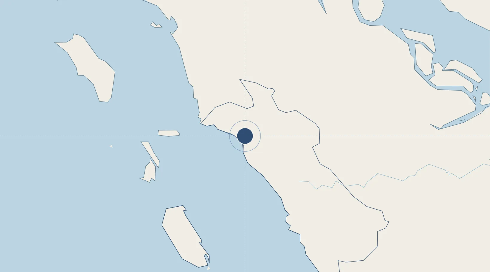
Location
Nearby Logistics Neighbours
Airports
Cities
- 1Bukittinggi78 km
- 2Padang135 km
- 3Telukbayur136 km
- 4Sawahlunto139 km
- 5Muara Siberut196 km
Ports
- 1Teluk Bayur136 km
- 2Sibolga216 km
- 3Dumai257 km
- 4Lalang Marine Terminal297 km
- 5Bengkalis300 km
Trade Zones
- 1Dumai Industrial Park271 km
- 2Sei Mangkei Special Economic Zone343 km
- 3Pulau Indah Free Industrial Zone357 km
- 4Port Klang Free Zone359 km
- 5Pulau Indah Mils Logistics Hub361 km
DatabookThe Record of Consolidated Knowledge
Indonesia beyond logistics?