UN/LOCODE hub · Indonesia
IDTBR
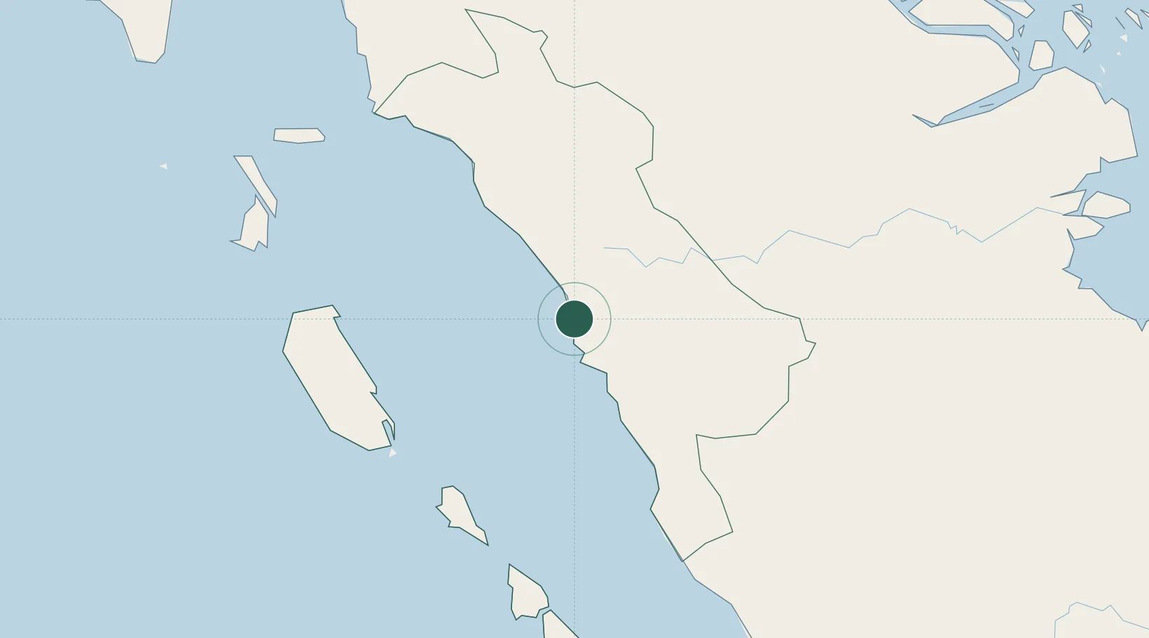
Telukbayur
-1.0000°, 100.3717°
2
Transport functions
1
Container terminals
Transport Functions
Port
Road
Hub Profile
Place type
Populated place
Region
West Sumatra
Time zone
Asia/Jakarta
Elevation
342 m
Logistics facilities
1
Container terminals
1
Location
Nearby Logistics Neighbours
Cities
- 1Padang3 km
- 2Sawahlunto59 km
- 3Bukittinggi76 km
- 4Muara Siberut146 km
- 5Muarabungo201 km
Ports
- 1Lalang Marine Terminal318 km
- 2Dumai322 km
- 3Sungaipakning329 km
- 4Bengkalis335 km
- 5Sibolga352 km
Airports
- 1Tabing Airport14 km
- 2Minangkabau International Airport26 km
- 3Pusako Anak Nagariu Airport136 km
- 4Mentawai Airport143 km
- 5Departi Parbo Airport172 km
Trade Zones
DatabookThe Record of Consolidated Knowledge
Indonesia beyond logistics?