UN/LOCODE hub · Indonesia
IDPDG

Padang

-0.9809°, 100.3866°
909,040
Population
4
Transport functions

Transport Functions

Port
Rail
Road
Airport
UN/LOCODE

Hub Profile

Place type
Regional capital
GeoNames
Region
West Sumatra
GeoNames
Population
909,040
GeoNames
Time zone
Asia/Jakarta
GeoNames
Elevation
6 m
GeoNames
Logistics facilities
3
UN/LOCODE

Location

Location of IDPDG
Natural Earth 10m (public domain) · West Sumatra · IDPDG · -0.98, 100.39GoogleOSMYandex

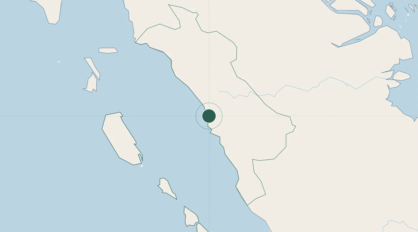
Nearby Logistics Neighbours

Cities
  1. 1Telukbayur3 km
  2. 2Sawahlunto56 km
  3. 3Bukittinggi74 km
  4. 4Muara Siberut148 km
  5. 5Muarabungo200 km
Nearest neighbours — logibook spatial index (haversine) over the source coordinates
Ports
  1. 1Teluk Bayur3 km
  2. 2Lalang Marine Terminal315 km
  3. 3Dumai319 km
  4. 4Sungaipakning326 km
  5. 5Bengkalis332 km
Nearest neighbours — logibook spatial index (haversine) over the source coordinates
Airports
  1. 1Tabing Airport12 km
  2. 2Minangkabau International Airport25 km
  3. 3Pusako Anak Nagariu Airport135 km
  4. 4Mentawai Airport146 km
  5. 5Departi Parbo Airport173 km
Nearest neighbours — logibook spatial index (haversine) over the source coordinates
Trade Zones
  1. 1Dumai Industrial Park325 km
  2. 2Karimun Free Trade Zone389 km
  3. 3Western Gate Development Flagship Zone435 km
  4. 4Tanjung Bin Free Industrial Zone, Johor436 km
  5. 5Port Of Tanjung Pelepas Free Zone438 km
Nearest neighbours — logibook spatial index (haversine) over the source coordinates
DatabookThe Record of Consolidated Knowledge
Indonesia beyond logistics?
Browse databook

All Sources

LocationsUN/LOCODE
UN/LOCODE — free
LocationsGeoNames
CC BY 4.0
Portsthe NGA World Port Index
Public domain (US gov)
AirportsOurAirports
Public domain
Trade Zonesthe World Bank SEZ database
CC BY 4.0
Trade ZonesOpen Zone Map
CC BY
← Indonesia locations