Medium airport · Indonesia

Minangkabau International AirportWIPT
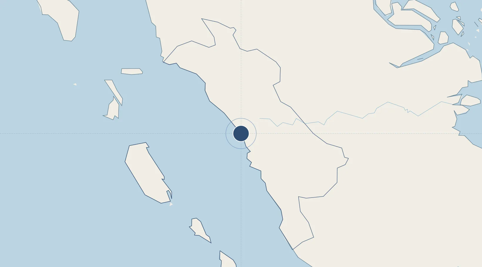
-0.7860°, 100.2804°
9,020 ft
Longest runway
1
Runways
18 ft
Elevation

Runway & Layout

Minangkabau International Airport runway & taxiway layout
Runway & taxiway layout — OpenStreetMap (ODbL) / OurAirports

Radio Frequencies

ATIS
127.25 MHz
TWR
118.3 MHz
MINANG TWR
APP
124 MHz
PADANG APP
OurAirports

Runways · 1

RunwayDimensions SurfaceTrue headingLit
15/33 9,020 × 148ft Asphalt 155°
OurAirports

Airport Specifications

IATA code
PDG
OurAirports
ICAO code
WIEE
OurAirports
Airport class
Medium airport
OurAirports
Scheduled service
Yes
OurAirports
Runway surface
Asphalt
OurAirports
Served city
Padang (Katapiang)
OurAirports

Location

Location of WIPT
Natural Earth 10m (public domain) · Sumatera Barat · WIPT · -0.79, 100.28GoogleOSMYandex

Nearby Logistics Neighbours

Airports
  1. 1Tabing Airport13 km
  2. 2Pusako Anak Nagariu Airport111 km
  3. 3Mentawai Airport159 km
  4. 4Sultan Syarif Kasim II International Airport / Roesmin Nurjadin AFB190 km
  5. 5Departi Parbo Airport197 km
Nearest neighbours — logibook spatial index (haversine) over the source coordinates
Cities
  1. 1Padang25 km
  2. 2Telukbayur26 km
  3. 3Bukittinggi53 km
  4. 4Sawahlunto58 km
  5. 5Muara Siberut149 km
Nearest neighbours — logibook spatial index (haversine) over the source coordinates
Ports
  1. 1Teluk Bayur26 km
  2. 2Dumai304 km
  3. 3Lalang Marine Terminal307 km
  4. 4Sungaipakning317 km
  5. 5Bengkalis322 km
Nearest neighbours — logibook spatial index (haversine) over the source coordinates
Trade Zones
  1. 1Dumai Industrial Park311 km
  2. 2Karimun Free Trade Zone390 km
  3. 3Western Gate Development Flagship Zone432 km
  4. 4Tanjung Bin Free Industrial Zone, Johor433 km
  5. 5Port Of Tanjung Pelepas Free Zone435 km
Nearest neighbours — logibook spatial index (haversine) over the source coordinates
DatabookThe Record of Consolidated Knowledge
Indonesia beyond logistics?
Browse databook

All Sources

AirportsOurAirports
Public domain
Portsthe NGA World Port Index
Public domain (US gov)
LocationsUN/LOCODE
UN/LOCODE — free
Trade Zonesthe World Bank SEZ database
CC BY 4.0
Trade ZonesOpen Zone Map
CC BY
InfrastructureOpenStreetMap
ODbL 1.0
← Indonesia airports