Transport Functions
Multimodal
Hub Profile
Place type
Populated place
Region
West Sumatra
Time zone
Asia/Jakarta
Elevation
322 m
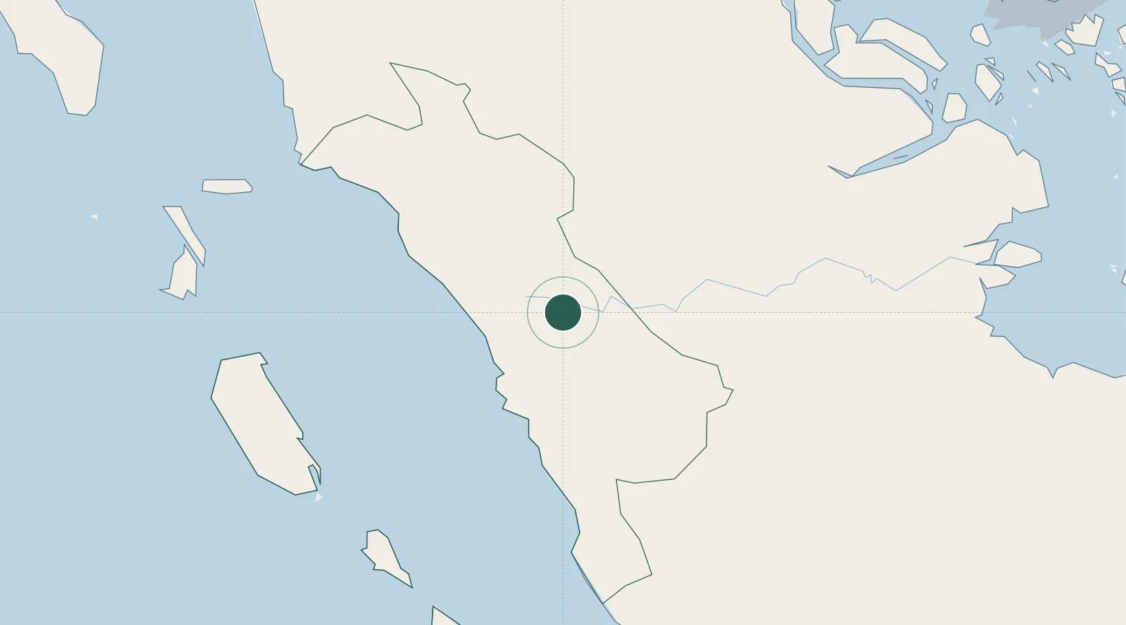
Location
Nearby Logistics Neighbours
Cities
- 1Padang56 km
- 2Telukbayur59 km
- 3Bukittinggi61 km
- 4Muarabungo173 km
- 5Perawang178 km
Ports
- 1Teluk Bayur59 km
- 2Lalang Marine Terminal260 km
- 3Dumai272 km
- 4Sungaipakning272 km
- 5Bengkalis279 km
Airports
Trade Zones
DatabookThe Record of Consolidated Knowledge
Indonesia beyond logistics?