Medium airport · Sudan
Nyala AirportHSNN
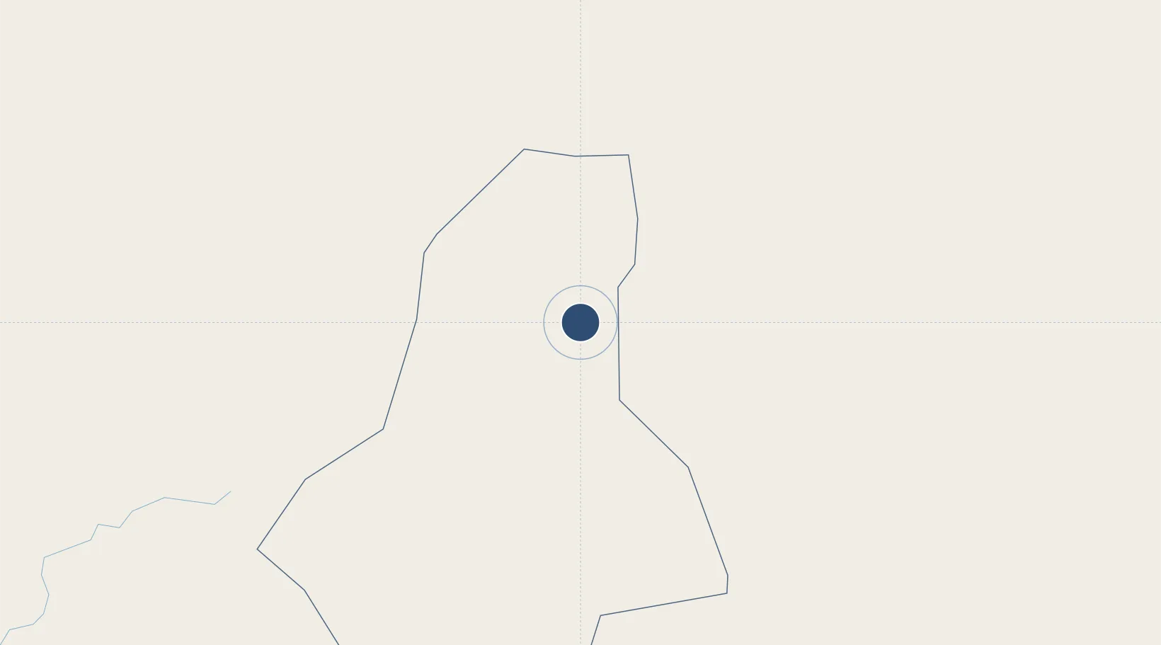
12.0535°, 24.9562°
9,880 ft
Longest runway
1
Runways
2,106 ft
Elevation
Runway & Layout

Radio Frequencies
TWR
118.1 MHz
TWR/APP
Runways · 1
| Runway | Dimensions | Surface | True heading | Lit |
|---|---|---|---|---|
| 04/22 | 9,880 × 148ft | Asphalt | 041° | ✓ |
Airport Specifications
IATA code
UYL
ICAO code
HSNN
Airport class
Medium airport
Scheduled service
Yes
Runway surface
Asphalt
Served city
Nyala
Location
Nearby Logistics Neighbours
Airports
- 1El Fasher Airport178 km
- 2Sabera Geneina Airport306 km
- 3Abeche Airport488 km
- 4Wau Airport584 km
- 5El-Obeid Airport586 km
Ports
- 1Sawakin Harbor1542 km
- 2Port Sudan1557 km
- 3Mitsiwa Harbor1616 km
- 4Jiddah1840 km
- 5Al Qusayr1842 km
Trade Zones
- 1Kosti Free Zone849 km
- 2Al-Jabayn Free Zone855 km
- 3Mokhalif Free Zone858 km
- 4Garri Free Zone909 km
- 5Djermaya Special Economic Zone1072 km
DatabookThe Record of Consolidated Knowledge
Sudan beyond logistics?