Free Trade Zone · Sudan
Al-Jabayn Free Zone Under Development
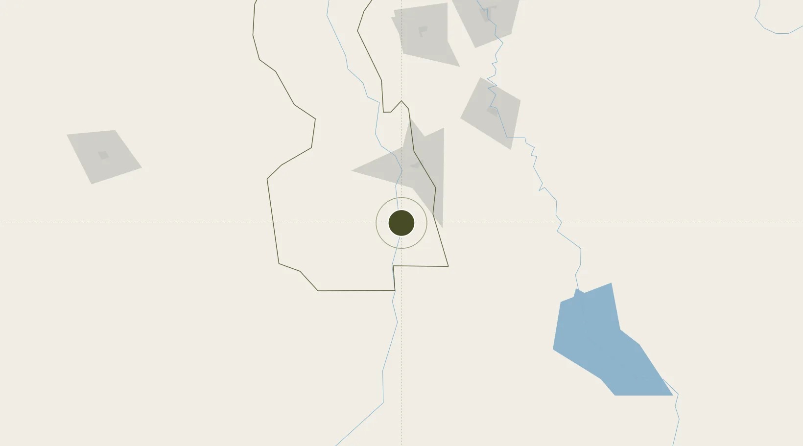
12.5858°, 32.8033°
30 ha
Zone area
793.6 km
Nearest port
231.0 km
Nearest airport
Gateway access
Zone profile
Zone type
Free Trade Zone
Region
White Nile
Status
Under Development
Management
Public-Private Partnership
Operator
Sudanese Free Zones and Markets Co.
Legal framework
2009 Law on Free Zones & Regions
Location
Nearby Logistics Neighbours
Ports
- 1Mitsiwa Harbor794 km
- 2Sawakin Harbor875 km
- 3Port Sudan912 km
- 4Assab1080 km
- 5Ras Isa Marine Terminal1095 km
Airports
- 1Paloich Airport231 km
- 2El-Obeid Airport286 km
- 3Khartoum International Airport335 km
- 4Asosa Airport345 km
- 5Malakal International Airport359 km
Cities
- 1Rabak63 km
- 2Asmara729 km
- 3Massawa (Mitsiwa)791 km
- 4Mojo820 km
- 5Mojo Dry Port824 km
Trade Zones
- 1Mokhalif Free Zone10 km
- 2Kosti Free Zone62 km
- 3Garri Free Zone335 km
- 4Gallabat Free Zone365 km
- 5Bahir Dar Industrial Park506 km
DatabookThe Record of Consolidated Knowledge
Sudan beyond logistics?