Medium airport · Chad
Abeche AirportFTTC
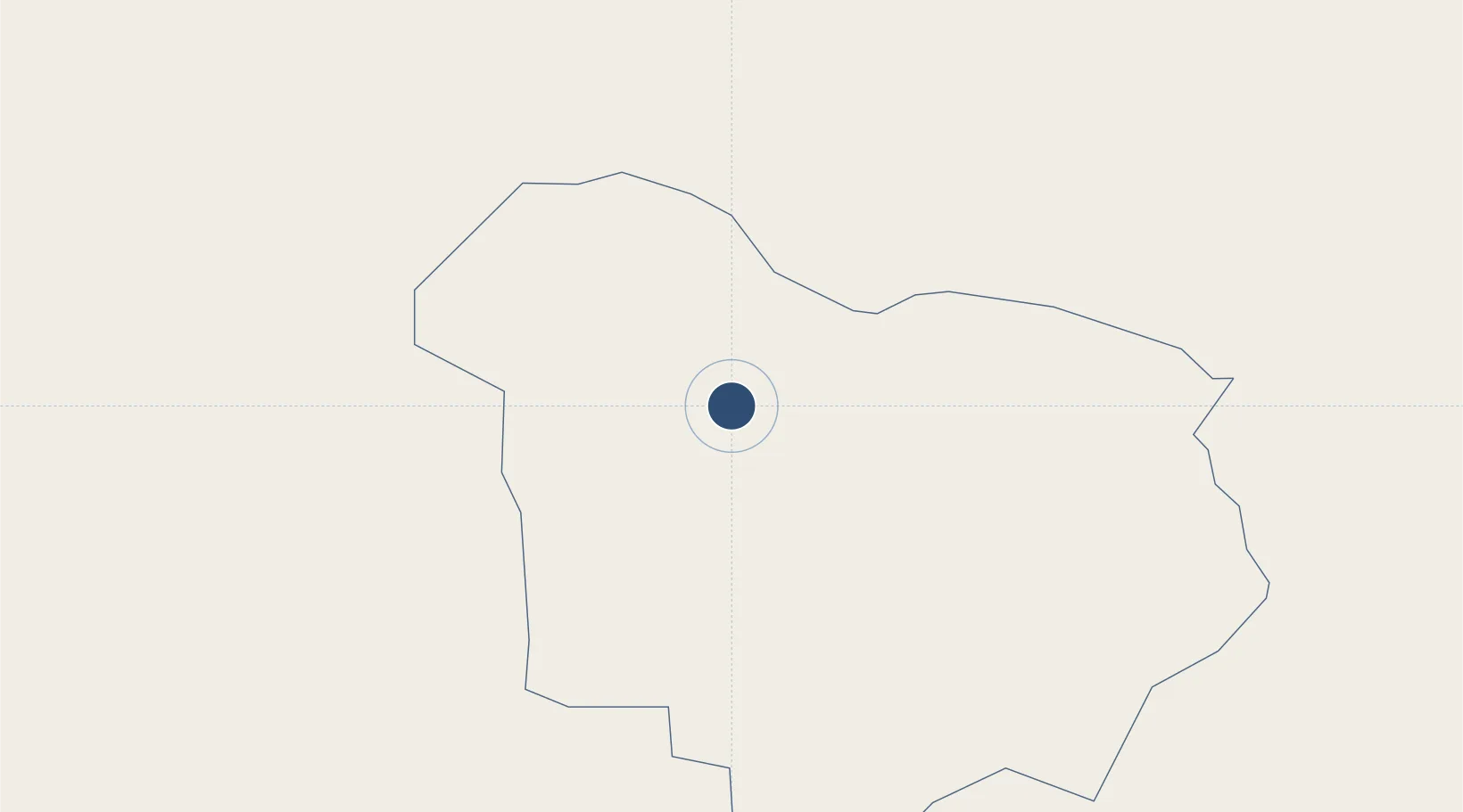
13.8470°, 20.8443°
9,186 ft
Longest runway
1
Runways
1,788 ft
Elevation
Runway & Layout

Radio Frequencies
TWR
118.1 MHz
Navaids
AE VOR Abeche 114.50 MHz
Runways · 1
| Runway | Dimensions | Surface | True heading | Lit |
|---|---|---|---|---|
| 09/27 | 9,186 × 98ft | Asphalt | 093° | — |
Airport Specifications
IATA code
AEH
ICAO code
FTTC
Airport class
Medium airport
Scheduled service
Yes
Runway surface
Asphalt
Served city
Abeche
Location
Nearby Logistics Neighbours
Airports
- 1Sabera Geneina Airport188 km
- 2El Fasher Airport485 km
- 3Nyala Airport488 km
- 4Faya-Largeau Airport489 km
- 5Ouadi Doum Air Base525 km
Ports
- 1Douala1639 km
- 2Limboh Terminal1688 km
- 3Calabar1691 km
- 4Kome Kribi 1 Marine Terminal1717 km
- 5Kole Oil Terminal1720 km
Trade Zones
- 1Djermaya Special Economic Zone643 km
- 2Banki Border Free Zone781 km
- 3Djamboutou Garoua Industrial Zone958 km
- 4Ngaoundere Industrial Zone1074 km
- 5Cite Lumiere Kwa na Kwa Economic Zone1085 km
DatabookThe Record of Consolidated Knowledge
Chad beyond logistics?