Free Trade Zone · Sudan
Garri Free Zone Active
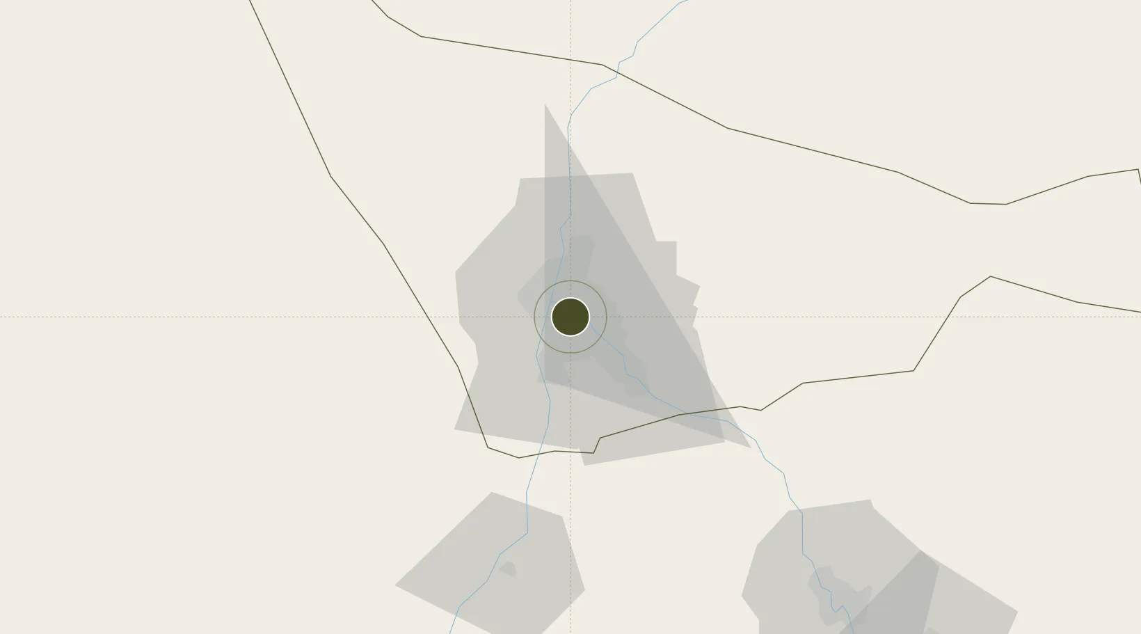
15.5884°, 32.5480°
200 ha
Zone area
644.2 km
Nearest port
0.6 km
Nearest airport
Gateway access
Zone profile
Zone type
Free Trade Zone
Region
Khartoum
Status
Active
Management
Public-Private Partnership
Operator
Sudanese Free Zones and Markets Co.
Legal framework
2009 Law on Free Zones & Regions
Location
Nearby Logistics Neighbours
Ports
- 1Sawakin Harbor644 km
- 2Port Sudan667 km
- 3Mitsiwa Harbor741 km
- 4Jiddah958 km
- 5Rabigh1043 km
Airports
- 1Khartoum International Airport1 km
- 2Wadi Seidna Air Base26 km
- 3Merowe Airport326 km
- 4El-Obeid Airport368 km
- 5Kassala Airport406 km
Cities
- 1Rabak272 km
- 2Marsa Bashayer657 km
- 3Port Sudan666 km
- 4Asmara685 km
- 5Massawa (Mitsiwa)739 km
Trade Zones
- 1Kosti Free Zone273 km
- 2Al-Jabayn Free Zone335 km
- 3Mokhalif Free Zone345 km
- 4Gallabat Free Zone486 km
- 5Suakin Free Zone643 km
DatabookThe Record of Consolidated Knowledge
Sudan beyond logistics?