Medium airport · Sudan

Sabera Geneina AirportHSSG
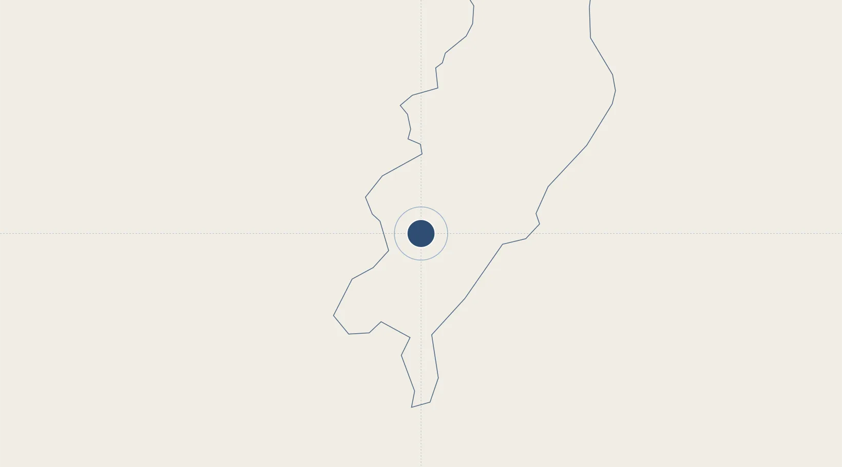
13.4774°, 22.5372°
9,829 ft
Longest runway
1
Runways
2,633 ft
Elevation

Runway & Layout

Sabera Geneina Airport runway & taxiway layout
Runway & taxiway layout — OpenStreetMap (ODbL) / OurAirports

Runways · 1

RunwayDimensions SurfaceTrue headingLit
04/22 9,829 × 148ft asphalt
OurAirports

Airport Specifications

ICAO code
HSSG
OurAirports
Airport class
Medium airport
OurAirports
Scheduled service
No
OurAirports
Runway surface
asphalt
OurAirports
Served city
Geneina
OurAirports

Location

Location of HSSG
Natural Earth 10m (public domain) · Western Darfur · HSSG · 13.48, 22.54GoogleOSMYandex

Nearby Logistics Neighbours

Airports
  1. 1Abeche Airport188 km
  2. 2El Fasher Airport302 km
  3. 3Nyala Airport306 km
  4. 4Faya-Largeau Airport615 km
  5. 5Ouadi Doum Air Base615 km
Nearest neighbours — logibook spatial index (haversine) over the source coordinates
Cities
  1. 1Soba225 km
  2. 2Chagoua823 km
  3. 3Komé848 km
  4. 4Togo892 km
  5. 5Garoua1099 km
Nearest neighbours — logibook spatial index (haversine) over the source coordinates
Ports
  1. 1Sawakin Harbor1700 km
  2. 2Port Sudan1707 km
  3. 3Douala1758 km
  4. 4Limboh Terminal1809 km
  5. 5Calabar1824 km
Nearest neighbours — logibook spatial index (haversine) over the source coordinates
Trade Zones
  1. 1Djermaya Special Economic Zone815 km
  2. 2Banki Border Free Zone943 km
  3. 3Kosti Free Zone1100 km
  4. 4Djamboutou Garoua Industrial Zone1101 km
  5. 5Garri Free Zone1103 km
Nearest neighbours — logibook spatial index (haversine) over the source coordinates
DatabookThe Record of Consolidated Knowledge
Sudan beyond logistics?
Browse databook

All Sources

AirportsOurAirports
Public domain
Portsthe NGA World Port Index
Public domain (US gov)
LocationsUN/LOCODE
UN/LOCODE — free
Trade Zonesthe World Bank SEZ database
CC BY 4.0
Trade ZonesOpen Zone Map
CC BY
InfrastructureOpenStreetMap
ODbL 1.0
← Sudan airports