Medium airport · South Sudan
Wau AirportHSWW
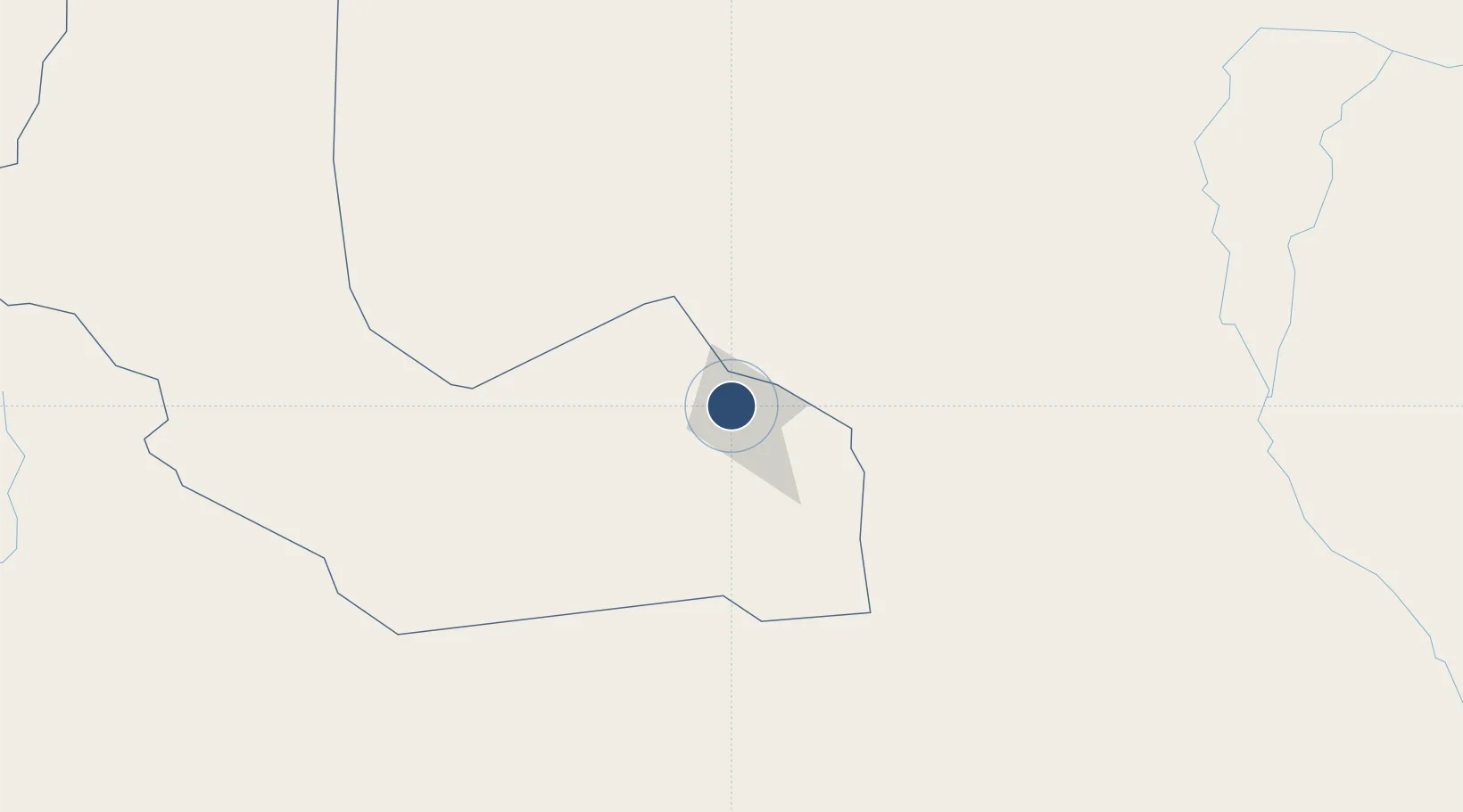
7.7258°, 27.9750°
8,202 ft
Longest runway
1
Runways
1,529 ft
Elevation
Runway & Layout

Radio Frequencies
INFO
119.2 MHz
Runways · 1
| Runway | Dimensions | Surface | True heading | Lit |
|---|---|---|---|---|
| 09/27 | 8,202 × 148ft | Asphalt | — | — |
Airport Specifications
IATA code
WUU
ICAO code
HJWW
Airport class
Medium airport
Scheduled service
Yes
Runway surface
Asphalt
Served city
Wau
Location
Nearby Logistics Neighbours
Airports
- 1Malakal International Airport453 km
- 2Juba International Airport511 km
- 3Matari Airport546 km
- 4Nyala Airport584 km
- 5Paloich Airport587 km
Ports
- 1Mitsiwa Harbor1527 km
- 2Sawakin Harbor1623 km
- 3Port Sudan1655 km
- 4Lamu1814 km
- 5Malindi1817 km
Trade Zones
- 1Juba Specialised Economic Zone509 km
- 2Arua Special Economic Zone618 km
- 3Gulu Industrial Park727 km
- 4Buliisa Industrial Park732 km
- 5Mokhalif Free Zone752 km
DatabookThe Record of Consolidated Knowledge
South Sudan beyond logistics?