Transport Functions
Port
Rail
Road
Airport
Hub Profile
Place type
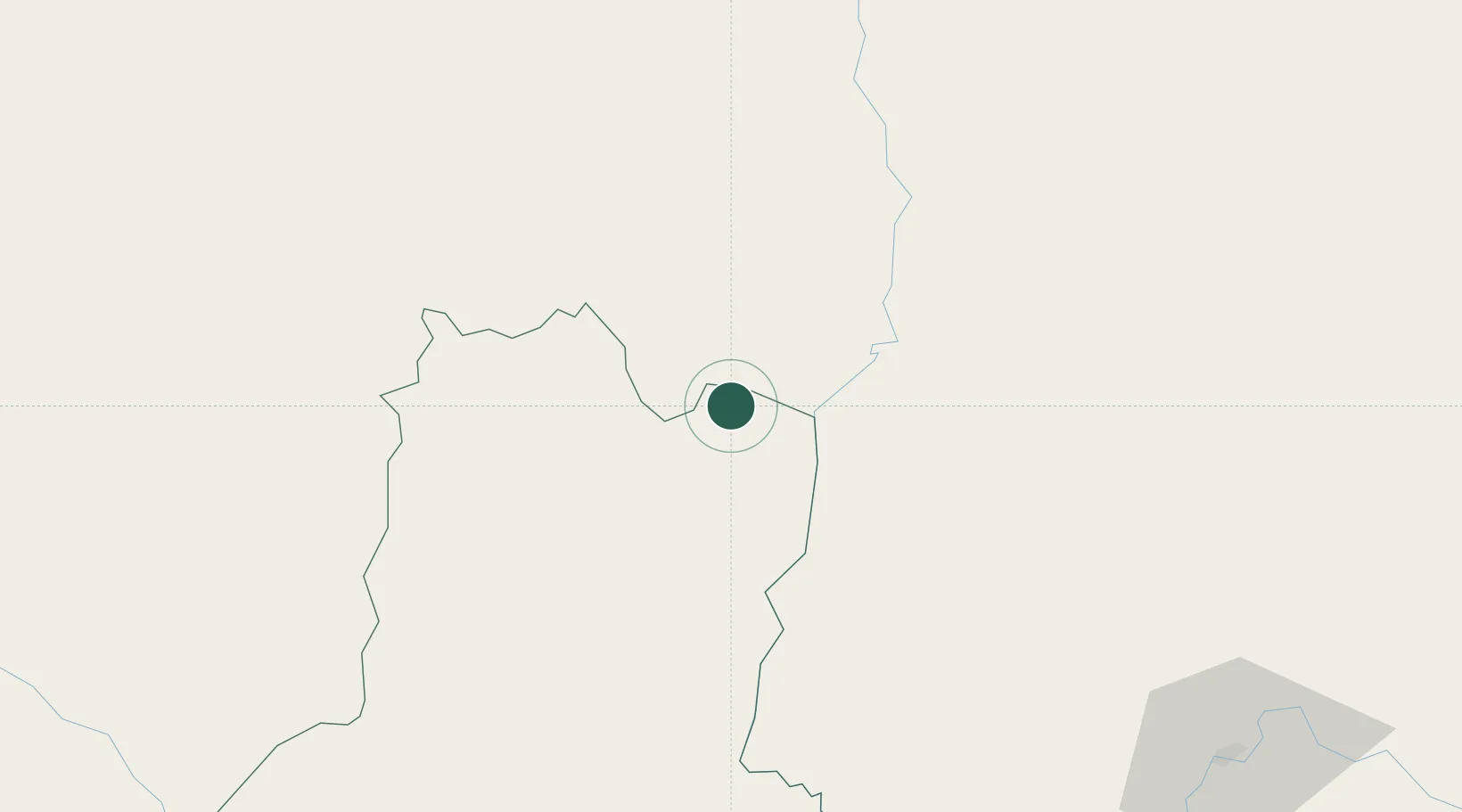
Populated place
Region
Basse-Kotto
Time zone
Africa/Bangui
Elevation
590 m
Location
Nearby Logistics Neighbours
Cities
- 1Zongo368 km
- 2Makala447 km
- 3Komé644 km
- 4Oyo817 km
- 5Ngaoundéré923 km
Ports
- 1Matadi1558 km
- 2Pointe Noire1585 km
- 3Boma1587 km
- 4M'bya Oil Terminal1588 km
- 5Djeno Terminal1592 km
Airports
- 1Gbadolite Airport161 km
- 2Gemena Airport332 km
- 3Lisala Airport371 km
- 4Bangui M'Poko International Airport375 km
- 5Buta Zega Airport453 km
Trade Zones
DatabookThe Record of Consolidated Knowledge
Central African Republic beyond logistics?